
Here’s a wild truth to start: some of America’s most beloved cities sit below sea level, on active fault lines, in deserts running out of water, or right in the path of monster storms—and we keep doubling down on living there anyway.
“Some cities were built in places that just don’t make sense.”
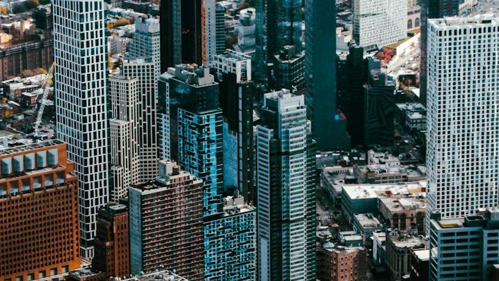
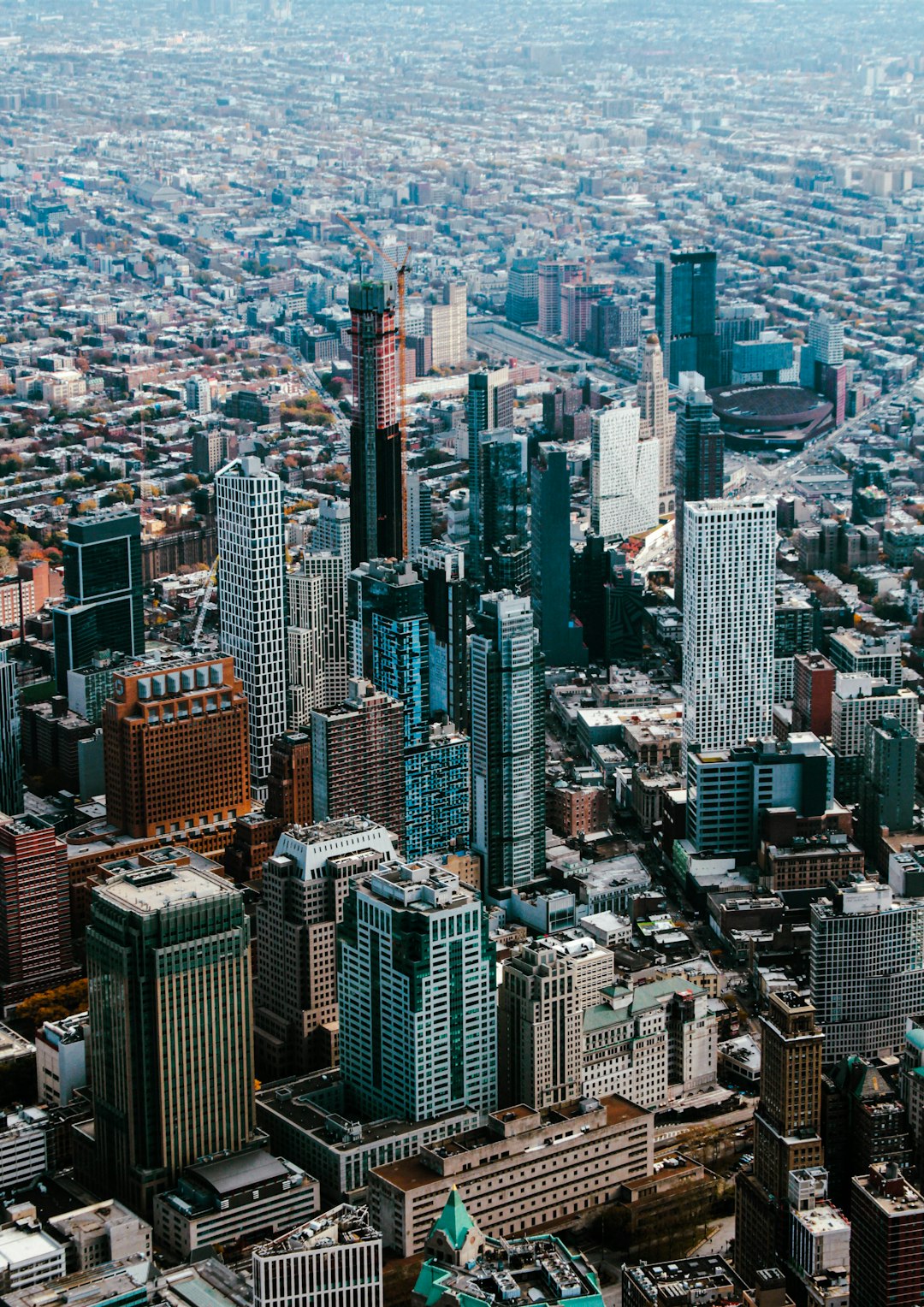
In the video “40 Worst Placed Cities in the US (You Won’t Believe),” published on August 7, 2025, the creator tours the map of America’s riskiest city locations and explains, with striking visuals, how geography, climate, and history boxed millions of people into tough spots.
Built on the edge: why location matters more than we admit
Location is destiny for a city, and the video makes that case with a punch: the ground beneath your feet and the weather above your head can shape everything from home prices to health. Many U.S. cities were founded for river trade, port access, or mineral wealth—smart choices centuries ago that now clash with flood risk, sea-level rise, drought, and heat. Once rail lines, levees, and highways went in, staying put became easier than moving, so settlement patterns hardened even as risks grew. The episode points out that old advantages, like easy shipping on a delta, often come with hidden costs, such as subsiding soils and storm surge corridors. It also argues that modern infrastructure can’t fully erase those original site flaws; it can only manage them for a while, sometimes shifting risks to different neighborhoods. You’ll see how zoning, insurance, and building codes try to paper over geology and climate, but the core placement problem keeps peeking through the cracks. The big takeaway from this section is uncomfortable but clear: when a city’s geography is misaligned with its hazards, policy tweaks help, yet the map still wins in the long run.
Flood magnets and sinking ground
Flood risk is the most visceral theme in the video, and cities like New Orleans, Miami, Houston, and Charleston headline the problem. New Orleans sits in a bowl below sea level, ringed by levees and wetlands that have been battered, rebuilt, and battered again; it remains uniquely exposed to surge and heavy rain. Miami rides a low limestone plain, which means water doesn’t just come over the land during storms—it can seep up from below, and saltwater can creep into freshwater supplies. Houston’s flat sprawl and paved-over prairies leave stormwater with fewer places to go, so big rain events turn into big floods far too easily. Charleston’s postcard streets flood on sunny days during high tides, and hurricanes can push water straight into historic districts. The video stresses a cruel paradox: the very waterfronts that built these economies are the same places that threaten them most now. It also notes that maintaining levees and pumps is a forever bill—miss a payment in funding, and the water quickly reminds everyone who’s boss.
Cities roasting in desert heat and running short on water
Desert metros look bold from the air—glittering grids in endless sand—but the video underscores how heat and water scarcity make that glitter hard to sustain. Phoenix’s Sonoran setting brings week after week of triple-digit heat, intensified by dark roofs, wide asphalt, and minimal shade. Las Vegas shines at night but depends on regional water that’s under long-term stress, forcing conservation to carry more and more of the load. Salt is sneaking into aquifers in parts of South Florida, yet in the Southwest it’s the sheer lack of recharge that keeps planners up at night. The episode talks about how heat doesn’t hit everyone equally: older adults, outdoor workers, and low-income households often bear the brunt when power bills spike and cooling fails. It also shows why building new neighborhoods on the fringe compounds the problem, since longer drives and less tree cover add to heat and water demand. The message isn’t that these cities can’t adapt; it’s that their original placement means adaptation is now a permanent way of life, not a one-time project.
On the fault line: earthquake and volcano neighborhoods
Earthquakes don’t announce themselves, and cities like San Francisco, Los Angeles, Anchorage, and Salt Lake City live with that jump-scare reality. San Francisco layers dense neighborhoods on shaky ground near major faults, a tough mix for older buildings even with better codes today. Los Angeles wrestles with a different cocktail—quakes plus wildfire and drought—so location risk stacks rather than substitutes. Anchorage endures frequent seismic activity amplified by harsh winters, which complicates everything from retrofits to emergency response. Salt Lake City sits near the Wasatch Fault, and the surrounding valley traps winter pollution too, creating a one-two punch of safety and health concerns. The video’s point is that you can engineer for shaking, but you can’t bargain with it, and retrofitting entire building stocks takes decades of discipline and money. Add volcanic lahar risks for places like Tacoma, and you get a sobering reminder that geology runs on its own schedule, not ours.
Coastal capitals and hurricane alley
America loves a coastal skyline, and that love shows up as risk in cities from Miami and New Orleans to Tampa and Norfolk. Storm surge is the true coastal monster, and the episode makes clear how low elevation turns a big storm into a neighborhood-deep bay. Tampa’s orientation toward the Gulf can funnel water into the metro, while Norfolk contends with recurrent tidal flooding and sinking land. Barrier island cities like Galveston and Atlantic City offer classic beach-town charm but sit in the crosshairs when tropical systems stack wind, rain, and surge. Charleston and Savannah add history into the mix, which complicates upgrades when every street is a landmark worth saving. The video emphasizes that elevating homes, hardening power, and restoring wetlands help, yet relocation debates keep bubbling up because physics keeps winning. For coastal cities, the map is both the asset and the liability, and it isn’t shy about reminding people which is which during storm season.
When economics make a bad location worse
Not every “worst-placed” city is about disaster headlines; some are anchored to fading industrial geography that no longer pays the bills. The video points to Detroit as a case where a single-industry bet magnified the pain when global manufacturing shifted, leaving too much infrastructure for too few taxpayers. River and rail cities that once boomed on steel and shipping often saw their competitive edge dull, exposing residents to the double bind of job loss and aging, flood-prone neighborhoods. Poor air basins like California’s Central Valley add health costs that don’t show up in the glossy brochure about sunshine and low rent. The episode argues that weak tax bases make it harder to invest in flood control, clean air, and transit—so location flaws linger even longer. Economic geography, in other words, doesn’t replace physical geography; it piles on top of it, turning manageable problems into chronic ones. This is where policy, investment, and place-based strategies matter most, because the buildings won’t pick themselves up and walk to safer ground.
So, after watching a map full of hard truths, one question lingers: if you were founding these cities today, would you still put them in the same spots?
Source: Original YouTube Video