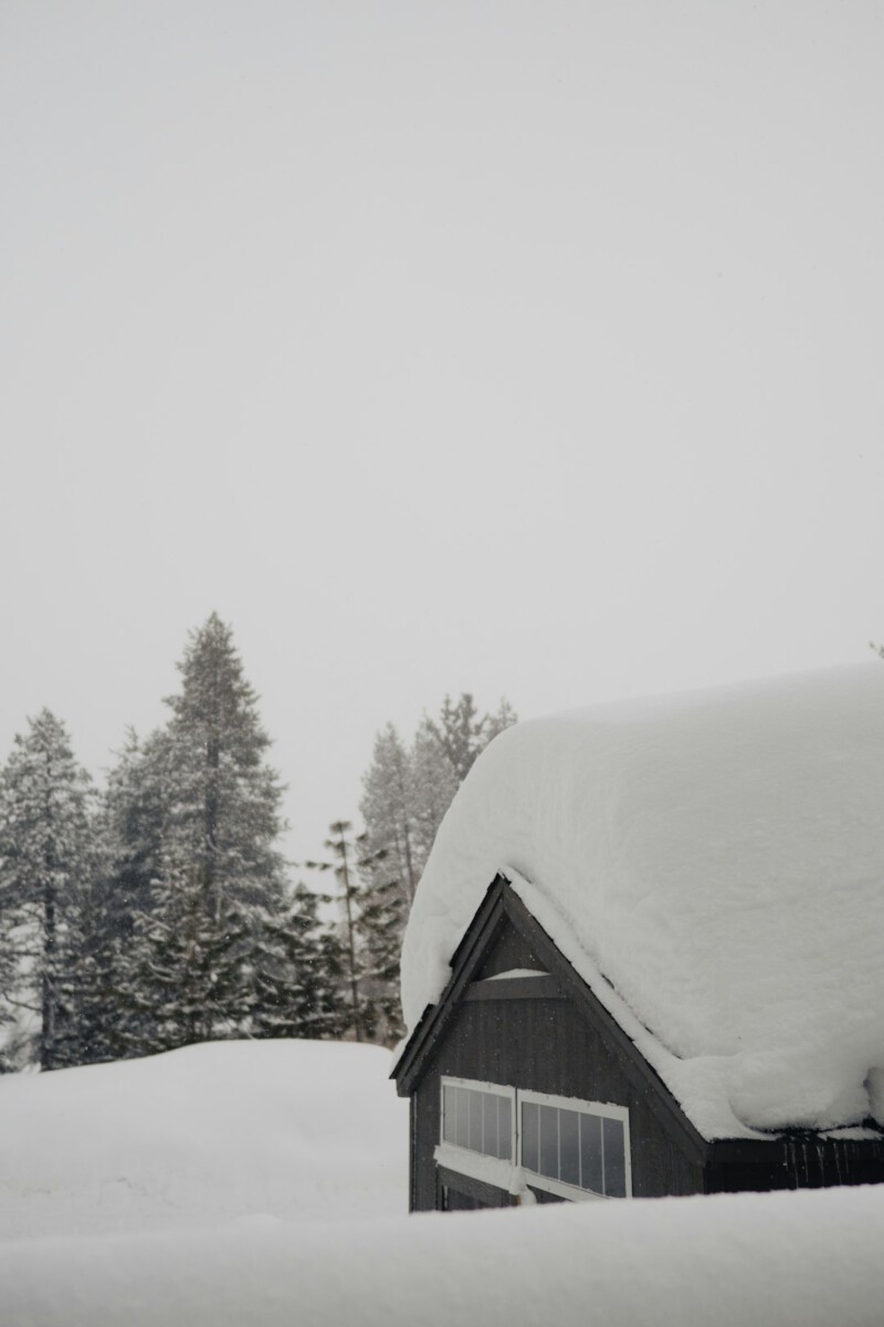
A Force of Nature Approaches (Image Credits: Unsplash)
California – Residents across the state prepare for a dramatic shift in weather as a formidable Pineapple Express approaches, promising heavy rains in the south and potential snowfalls in the mountains during the Christmas period.
A Force of Nature Approaches
Forecasters have long recognized the Pineapple Express as one of the most intense atmospheric river events, drawing moisture directly from near Hawaii to fuel powerful storms along the West Coast. This particular system stands out for its timing, aligning with holiday celebrations and travel peaks. Models indicate the storm will intensify over the weekend, reaching peak strength by Christmas Eve. Such events have historically led to significant disruptions, from flooded roads to isolated communities. Experts at the National Weather Service emphasize the need for vigilance as details refine in the coming days.
The storm’s path traces a conveyor belt of subtropical moisture that could linger, amplifying rainfall totals. Unlike typical winter fronts, this one carries warmer air, which might elevate snow levels initially but still deliver substantial precipitation to higher elevations. Communities in the Bay Area and beyond have already seen preliminary light rains, signaling the system’s arrival. Preparation efforts, including clearing drains and stocking supplies, gain urgency with each update. As the event unfolds, its full scope will become clearer through ongoing monitoring.
Rainfall Projections for Southern Regions
Southern California faces the brunt of this storm’s watery assault, with forecasts pointing to 2 to 4 inches of rain across coastal and valley areas from December 24 through 26. Meteorologists describe this as a high-probability scenario, occurring in about 50 percent of model runs, which could turn holiday drives into challenging endeavors. Urban centers like Los Angeles and surrounding counties may experience localized flooding, particularly in low-lying spots prone to backups. The Southland’s infrastructure, tested by past events, holds lessons from previous atmospheric rivers that caused widespread closures. Authorities urge drivers to check road conditions frequently during this period.
A more moderate outcome remains possible, with 1 to 2 inches of precipitation in a 30 percent chance scenario, yet even that would mark a notable end to recent dry spells. The storm’s slow movement allows for repeated bands of heavy rain, heightening risks for mudslides in fire-scarred hillsides. Ventura, Santa Barbara, and San Luis Obispo counties fall squarely in the impact zone, where emergency services prepare for potential rescues. Historical parallels, such as storms that closed major routes, underscore the importance of alternative travel plans. Overall, the event promises to reshape festive gatherings with its persistent downpours.
Snowy Peaks in the Sierra Nevada
The Sierra Nevada mountains could transform into a winter wonderland, with accumulating snow offering a white Christmas for skiers and residents alike. Elevated snow levels from the warm moisture influx might delay heavy accumulations at lower resorts, but higher altitudes above 8,000 feet stand to gain feet of fresh powder. This contrast to the rainy lowlands highlights the storm’s diverse effects, turning potential hazards into seasonal attractions for some. Avalanche risks rise with rapid buildup, prompting warnings from mountain safety teams. The blend of rain below and snow above creates a visually striking, if unpredictable, holiday backdrop.
Forecasts suggest the system could reload moisture multiple times, extending snowy conditions into early next week. Tahoe and surrounding areas, already monitoring early flurries, anticipate a boost to snowpack that benefits water supplies long-term. Visitors planning Sierra trips should pack chains and monitor closures, as winds accompanying the front may gust fiercely. Past Pineapple Express episodes have buried passes under deep drifts, stranding travelers overnight. This event reinforces the region’s dual nature, where beauty and peril coexist in the peaks.
Broader Implications for Holiday Travel
Travelers nationwide eyeing California for Christmas face hurdles from this incoming system, with airlines and highways bracing for delays. The storm’s reach extends to the Pacific Northwest first, but its southward drift threatens widespread disruptions by mid-week. Key routes like Interstate 5 and coastal highways may see slowdowns from water accumulation and reduced visibility. Ports and airports in major hubs report heightened alertness, coordinating with federal agencies for smooth operations. Families reuniting for the holidays might need flexible itineraries to navigate the weather’s whims.
Here are some essential preparations for those affected:
- Monitor updates from the National Weather Service for real-time alerts.
- Secure travel insurance that covers weather-related cancellations.
- Pack emergency kits with water, non-perishables, and warm clothing.
- Avoid driving through known flood-prone areas during peak rain.
- Check ski resort statuses for safe access to snowy destinations.
These steps can mitigate risks and preserve holiday spirits amid the chaos.
Key Takeaways
- The Pineapple Express targets California with heavy rain in the south and snow in the Sierra, peaking around Christmas.
- Expect 2-4 inches of rain in coastal areas, with flooding as a primary concern.
- Mountain travel requires caution due to potential avalanches and road closures.
As California gears up for this atmospheric spectacle, the storm serves as a reminder of nature’s power to both challenge and enchant holiday plans. Stay informed and safe to make the most of the season – what are your thoughts on this forecast? Share in the comments below.


