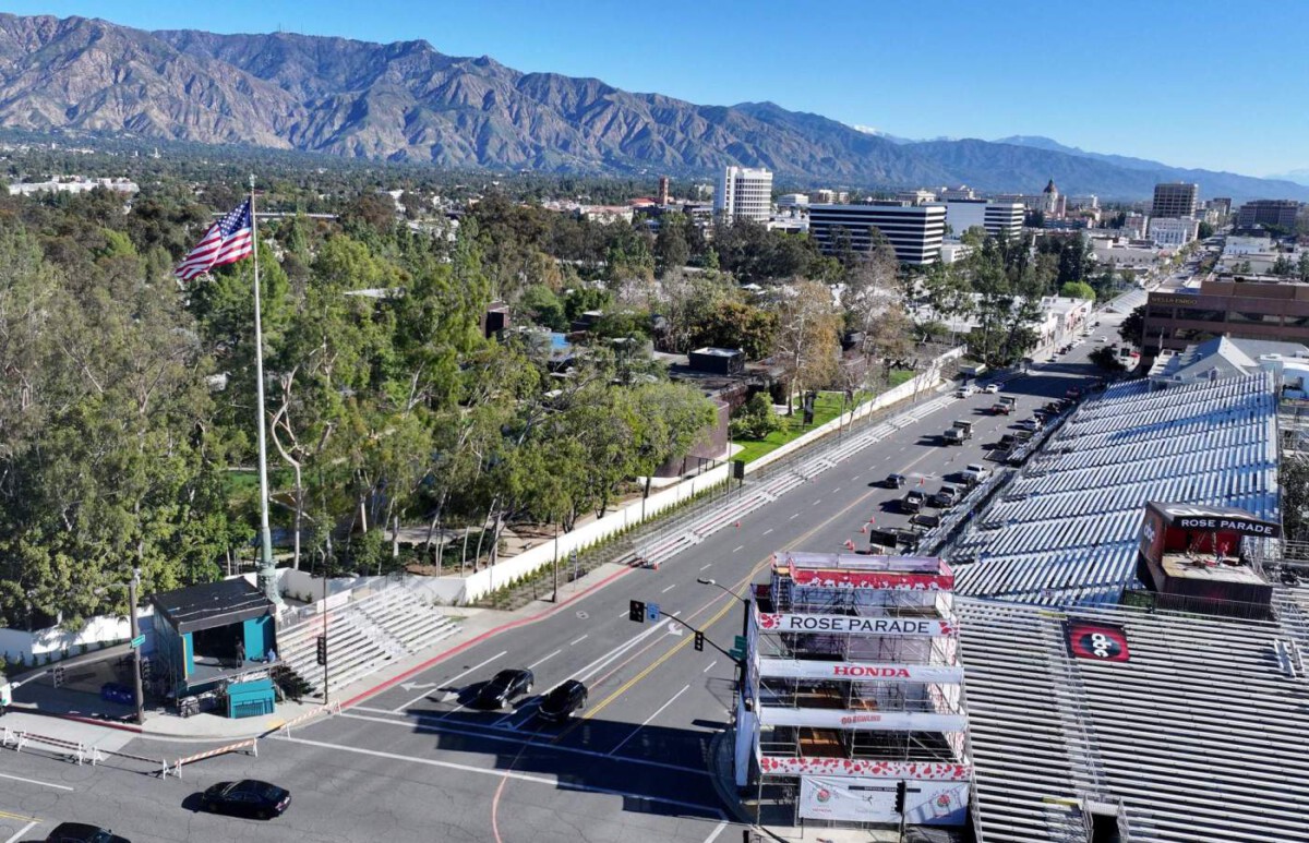
The Christmas Deluge That Broke Records (Image Credits: Sbsun.com)
Southern California – Residents who endured relentless holiday rains now prepare for another atmospheric river system targeting the region just as celebrations wind down.
The Christmas Deluge That Broke Records
Heavy precipitation swept across the state during the holiday period, marking one of the wettest Christmases in recent history. Downtown Los Angeles recorded its highest rainfall totals for Christmas Eve and Day in over five decades, with several inches falling in a short span. The storms, fueled by a powerful atmospheric river, triggered widespread flooding, mudslides, and power outages throughout the area.
Communities in Orange County, the Inland Empire, and San Diego faced the brunt of the chaos, as streets turned into rivers and emergency crews responded to numerous calls. Mountain regions saw significant snowfall, with accumulations reaching up to 12 inches at higher elevations. At least three fatalities were reported amid the severe weather, underscoring the dangers of such intense events. Officials noted that the rapid onset caught some off guard, exacerbating the impacts on infrastructure already strained by prior dry spells.
A Fresh Wave Builds for New Year’s Eve
Forecasters issued warnings for another round of heavy rain starting late on New Year’s Eve and continuing into the following day. This incoming system, originating from tropical latitudes, promises to deliver substantial moisture to already saturated soils. The National Weather Service highlighted risks of flash flooding, particularly in urban and low-lying areas where drainage systems remain overwhelmed.
Wind gusts could reach up to 85 miles per hour in parts of the Santa Ana Mountains and surrounding valleys, potentially complicating travel and outdoor festivities. Snowfall is again expected in higher elevations, with 1 to 3 inches possible around 7,000 feet. The storm’s timing aligns with holiday gatherings, prompting authorities to urge caution for those ringing in the new year. Hydrologists warned that debris flows could intensify in burn scar areas from previous wildfires, adding to the hazards.
Storm Comparisons: Intensity and Potential Risks
While the Christmas storms set benchmarks for holiday wetness, the New Year’s event may not match their volume but could prove equally disruptive due to lingering ground saturation. Rainfall projections for the upcoming system suggest 1 to 3.5 inches across much of Southern California, less than the holiday totals but sufficient to reignite flood concerns. Climate experts pointed to an intensifying pattern of extreme weather swings, driven by warmer ocean temperatures that amplify atmospheric rivers.
To illustrate the differences, consider these key aspects:
- Rainfall Amount: Christmas saw up to 6 inches in some spots; New Year’s forecast hovers at 1-3 inches.
- Wind Speeds: Holiday gusts topped 65 mph in places; the next storm could hit 85 mph.
- Flood Risk: Higher now due to soaked soils from prior rains.
- Snow Impact: Similar accumulations expected, but roads may be icier from recent thaws.
- Duration: Shorter burst for New Year’s, potentially easing quicker than the multi-day holiday siege.
Such comparisons reveal a region caught in a cycle of drought followed by deluge, challenging preparedness efforts year-round.
Lessons from Recent Storms Shape Response
Local agencies ramped up monitoring after the holiday battering, clearing debris from waterways and reinforcing barriers in vulnerable zones. Evacuation orders stood ready for high-risk neighborhoods, while sandbag stations saw steady lines of volunteers. Transportation officials planned for possible closures on major routes like the I-5 and I-10, advising drivers to avoid unnecessary travel.
Residents received updates via apps and alerts, emphasizing the importance of staying indoors during peak hours. Utility companies braced for outages, deploying extra crews to restore power swiftly. The sequence of storms highlighted the need for updated infrastructure, as aging systems struggled under the pressure. Community groups organized aid for those affected, fostering resilience amid the back-to-back threats.
Key Takeaways
- Southern California’s weather patterns are shifting toward more frequent extremes, linked to climate change.
- Flash flooding remains the top concern for the New Year’s storm, even with moderate rain forecasts.
- Proactive measures like clearing drains can mitigate damages in urban areas.
As Southern California navigates this latest challenge, the back-to-back storms serve as a stark reminder of the region’s vulnerability to rapid weather shifts. With drier conditions possibly returning early next week, the focus turns to recovery and reflection on building long-term defenses. What steps are you taking to stay safe during this stormy start to 2025? Share your thoughts in the comments.


