A Natural Spectacle Unfolds in Barkley Sound (Image Credits: Unsplash)
Vancouver Island, British Columbia – Scientists recently spotted a vivid display of nature’s scale through satellite eyes. On February 19, 2026, the Operational Land Imager on Landsat 9 captured brightened waters in Barkley Sound, signaling the start of Pacific herring spawning season.[1] This annual event draws thousands of the small, silvery fish to shallow coastal zones, creating a spectacle that extends far enough to register from space. The phenomenon underscores the intricate rhythms of marine life along Canada’s Pacific coast.
A Natural Spectacle Unfolds in Barkley Sound
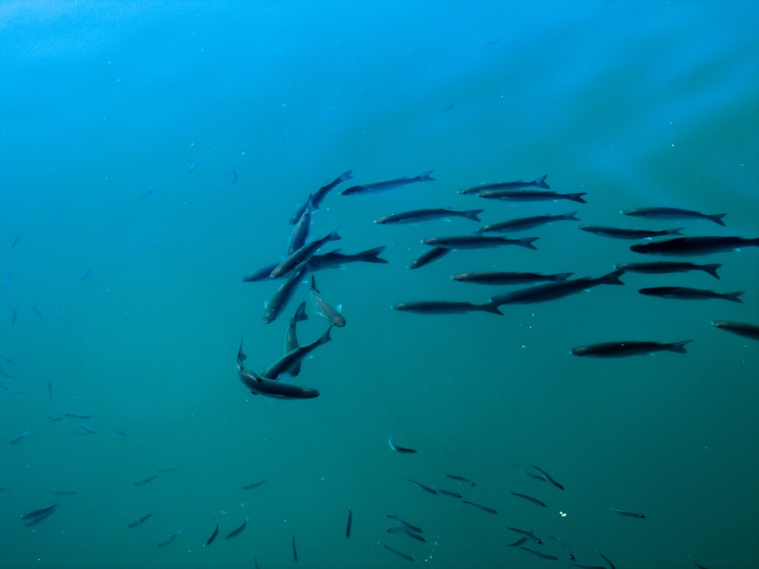
Spawning season for Pacific herring typically runs from mid-February to early May. Schools congregate in protected inlets like Barkley Sound on the island’s southwestern flank, particularly near Forbes Island.[1] Females release sticky eggs that adhere to kelp, seagrass, and rocks, while males discharge milt – a sperm-rich fluid that clouds the water with a turquoise or green tint. These gatherings can persist for hours or days, transforming nearshore areas into vibrant patches.
Local reports noted fish staging as early as February 13, with peak activity from February 19 to 21. Such events have occurred near Forbes Island most years since the 1970s, per Fisheries and Oceans Canada records. The scale often attracts opportunistic wildlife, from sea lions and whales offshore to eagles, wolves, and bears along the shorelines.
Why Satellites Prove Essential for Detection
Traditional monitoring relied on aerial surveys and on-site checks, limited by timing and remote access. Researchers at the University of Victoria now leverage satellites like Landsat to overcome these hurdles. Loïc Dallaire, a master’s student in the Spectral Remote Sensing Lab, leads efforts to map spawns using decades of imagery.[2][3]
“The method we’re developing is absolutely new,” Dallaire stated. “Using satellites we can expand both spatially and temporally.”[2] The lab, under professor Maycira Costa, partners with the Pacific Salmon Foundation to analyze milt-induced color shifts, estimating event extent without counting individual fish or eggs. This approach builds historical records back to 1982 and streamlines future observations.
Factors Shaping Ideal Spawning Grounds
Herring select sites with specific traits for success. Jessica Moffatt, a biologist with the Island Marine Aquatic Working Group, explained preferences clearly.
“Herrings prefer spawning locations that are more protected, have rocky substrate, and allow them to select areas with reduced salinity,” she said. “Barkley Sound hits the sweet spot” in many of these regards.[1]
Other influences include collective memory from prior generations, predation risks, and environmental cues. Post-spawn, the fish depart for deeper feeding grounds, often maintaining the same schools over years.
- Protected bays reduce wave exposure.
- Rocky or vegetated substrates anchor eggs.
- Lower salinity aids egg development.
- Proximity to food sources supports recovery.
- Historical site fidelity guides returns.
Broader Impacts on Ecosystems and Communities
Pacific herring serve as a cornerstone forage species. They sustain salmon, seabirds, and marine mammals, linking coastal food webs. Shifts in spawn patterns could signal wider ecosystem changes, from temperature fluctuations to pollution effects.
First Nations communities value herring roe as a traditional food, while commercial fisheries target the fish. Enhanced satellite tracking aids management, informing harvest limits and conservation. Recent rebounds in biomass, noted after fishing pauses, highlight recovery potential.[3]
Key Takeaways
- Satellites detect spawns via turquoise milt clouds, expanding monitoring beyond traditional methods.
- Events like the February 2026 Barkley Sound spawn reveal herring’s vital role in Pacific ecosystems.
- UVic research enables historical analysis since 1982, supporting sustainable fisheries.
As technology bridges the gap between orbit and ocean, these observations promise deeper insights into marine health. What patterns will future images uncover? Share your thoughts in the comments.