
Picture driving down a quiet road in Bowling Green, Kentucky, when suddenly the ground gives way beneath you. That’s the nightmare unfolding right now in this rural pocket of the state, where a massive sinkhole has swallowed part of Cambridge Drive. Folks are steering clear, but experts aren’t just alarmed – they’re predicting this could be the start of something bigger.[1]
Heavy rains have pummeled the area lately, stressing the fragile underground. Let’s unpack why scientists see red flags waving all over this one. Buckle up as we explore the ground-shaking details.
The Dramatic Discovery
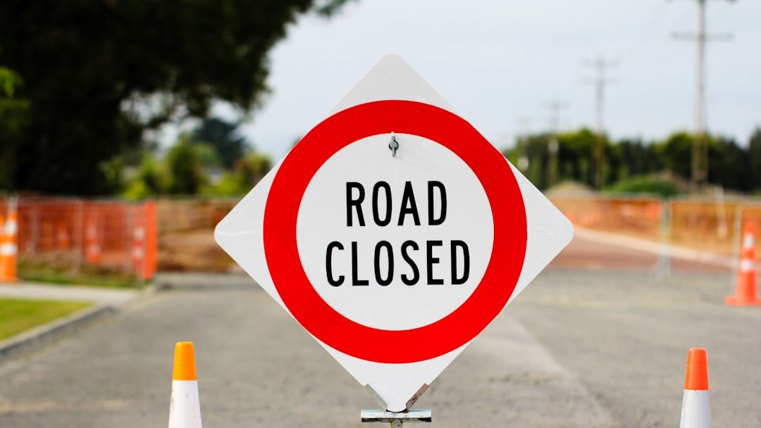
On March 30, 2026, city officials in Bowling Green spotted the sinkhole on Cambridge Drive at Grinstead Way. It popped up without much warning, forcing an immediate road closure. Drivers got the heads-up via social media to find alternate routes fast.[1][2]
Local crews rushed in to assess the damage. This wasn’t some pothole – it demanded serious attention right away. The city called it “very large,” not the kind you fix with a quick patch.[2]
Location in Rural Warren County
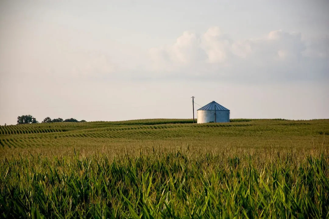
Bowling Green sits in Warren County, blending urban edges with rural farmland. The sinkhole struck on the outskirts, near rolling fields typical of south-central Kentucky. This spot feels worlds away from city bustle, yet it’s vulnerable.[3]
Residents here deal with everyday country life, from farms to quiet drives. Now, that peace faces underground threats. It’s a wake-up call for these communities.[4]
Impressive Size and Depth
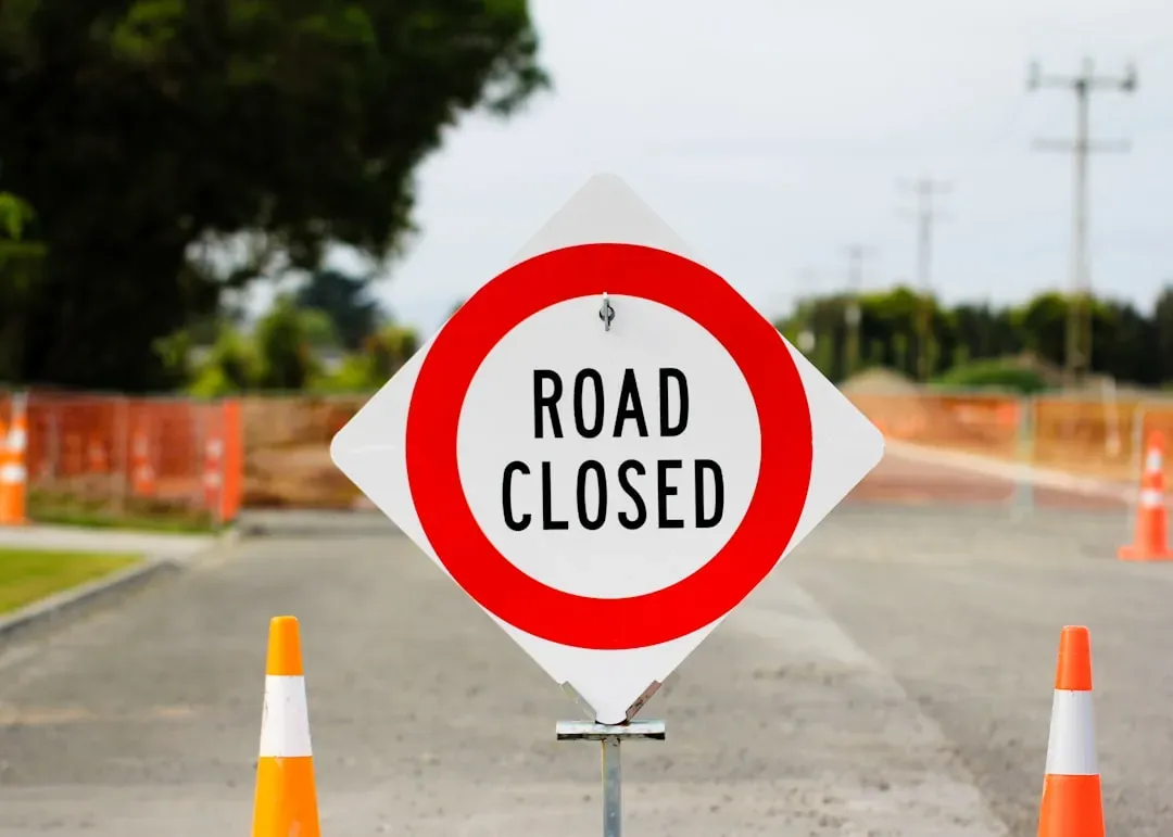
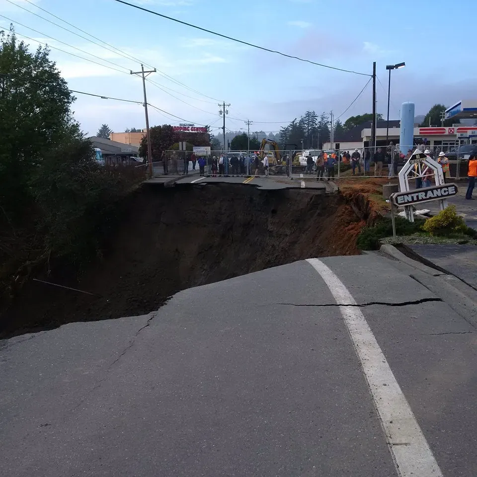
Measuring about 15 feet wide and 12 feet deep, this crater dwarfs typical road hazards. It spanned the entire road, turning a smooth drive into a no-go zone. No wonder the closure stretched a full month.[5][1]
Visuals from the scene show a gaping void that swallowed pavement whole. Crews had to block it off completely for safety. Such scale hints at deeper instability below.[1]
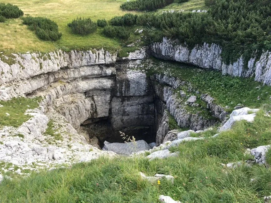
Kentucky’s Karst Landscape Exposed
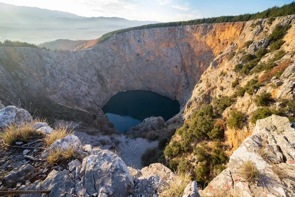
More than half of Kentucky overlays karst terrain, where limestone dissolves over time. This creates caves, voids, and yes, sinkholes galore. Warren County ranks high in these features statewide.[6]
The Kentucky Geological Survey maps thousands of these spots. Rainfall seeps in, eroding rock silently for years. Suddenly, the surface can’t hold.[7]
It’s like the earth playing hide-and-seek with its own stability. No surprise this state sits fifth nationally for sinkhole risks. Rural areas bear the brunt often.[8]
Heavy Rains as the Trigger

Recent storms dumped over ten inches in days back in 2025, overwhelming the karst system. Water rushed into cracks, hastening collapses. The 2026 sinkhole likely stems from similar downpours.[6]
Geologists note the underground drainage can’t keep up. Excess saturates soil, washing it into voids below. Boom – a sinkhole forms overnight.[6]
Wave of Recent Sinkholes
Bowling Green tallied at least 18 new ones after April 2025 floods. Others hit Lovers Lane Soccer Complex and Normandy Way homes. By April 2026, crews monitored five active sites.[6][4]
Repairs drag on, like the bike path sinkhole from April 1, 2025. Flooding keeps stirring trouble. It’s a pattern that’s ramping up.[9]
Scientists’ Growing Alarm

Experts warn the karst network is maxed out from intense rains. More sinkholes loom as water levels stay high. City geologist Nick Lawhon flagged priority risks early.[6][10]
Global trends show sinkholes rising in modified landscapes. Kentucky’s no exception with its geology. They’re urging better mapping and alerts.[11]
Impacts on Daily Life
Roads close, stranding locals and complicating commutes. Farms nearby face soil loss and crop threats. One dog even plunged 30 feet into a similar hole recently.[12]
Homes on Normandy Way watched theirs expand during storms. Repair bills soar past $200,000 in some cases. Fear lingers underfoot.[13][10]
Challenging Repair Efforts
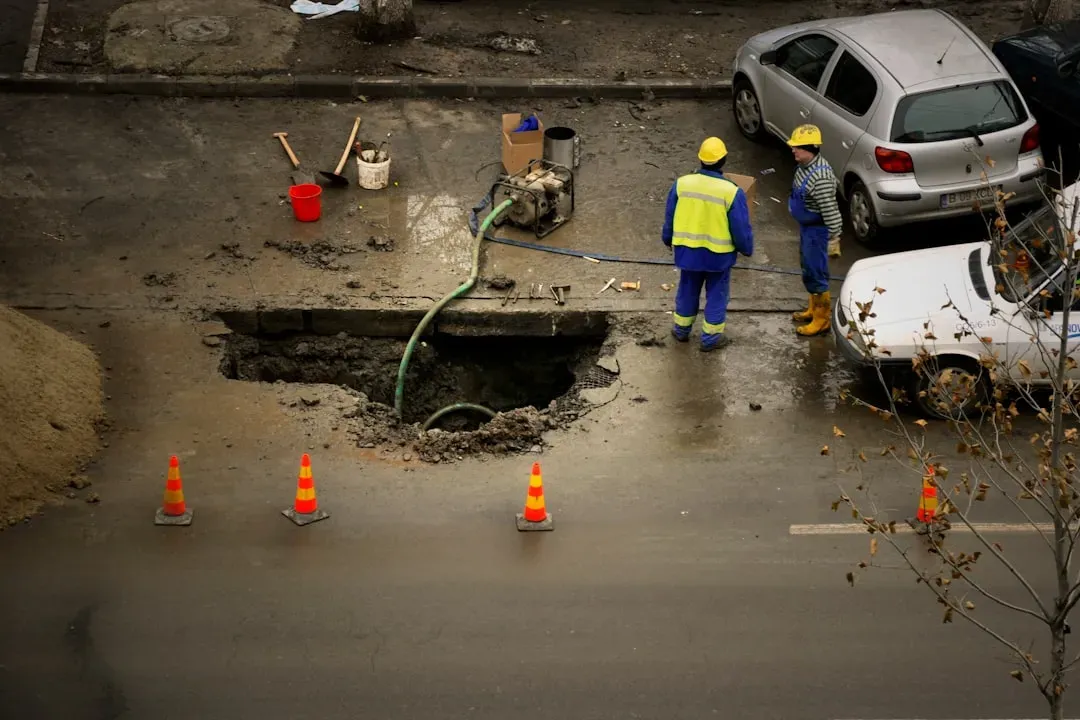
Crews in Bowling Green filled the Cambridge hole by early April 2026. But stabilizing deep voids takes time and heavy equipment. They blocked intersections while monitoring.[4][14]
Post-2025 floods, fixes continue months later. Coal mine subsidence adds twists in spots like Hopkins County. It’s patch-and-pray sometimes.[15]
Looking Ahead to More Risks

With climate shifts bringing fiercer storms, karst zones face higher odds. The state pushes LiDAR mapping for better predictions. Rural Kentucky preps for the next drop.[16]
Scientists stress vigilance in high-risk counties. Sinkholes won’t vanish, but awareness saves lives. Stay grounded out there.[6]