
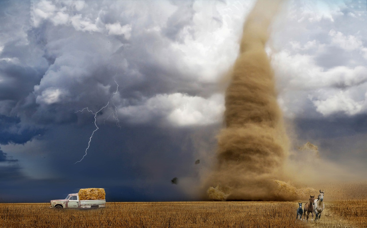
Record-Shattering Tornado Activity Defies Traditional Patterns
If you think Oklahoma’s weather is getting wilder, you’re absolutely right. The National Weather Service confirmed at least 152 tornadoes touched down in Oklahoma in 2024, surpassing the previous record of 149 set in 2019. Oklahoma sees 58 tornadoes per year on average, so we were nearly three times our average in 2024. What makes this even more shocking is that 196 tornado warnings were issued and 988 severe thunderstorm warnings in Oklahoma. Every square inch of the state was under some type of severe alert. This isn’t just another busy weather year – it’s a complete breakdown of what meteorologists thought they knew about Oklahoma’s weather patterns.
Temperature Swings That Leave Forecasters Speechless

Breckinridge experienced a 24-hour temperature drop from 84.0°F to 31.2°F on February 28, and a shocking 1-hour temperature drop from 107.6°F to 73.6°F on August 18. For the year, the highest temperature was 113.3 degrees at Freedom on Aug. 24, while the lowest was minus 14.7 degrees at Vinita on Jan. 16. On that same day, Vinita recorded a wind chill of minus 26.8 degrees. These aren’t gradual climate shifts – they’re violent swings that happen in hours, not weeks. The year’s highest heat index was 123.4 degrees, recorded at Okmulgee on Aug. 18. When temperatures can plummet 52 degrees in a single hour, how can anyone accurately predict what tomorrow will bring?
The November Rain That Rewrote History Books
Oklahoma experienced its greatest statewide average November rainfall in state history with 7.84 inches. Think about that for a moment – in a month that’s typically dry, Oklahoma got more rain than ever recorded. This year’s total was bolstered by record-breaking monthly totals of 56 tornadoes in April and 33 in November. November tornadoes aren’t just unusual – they’re downright bizarre. Tornado count records were broken in April and November when 56 and 36 twisters were confirmed, respectively. When your wettest November on record comes paired with a tornado outbreak, you know the weather patterns have gone completely haywire.
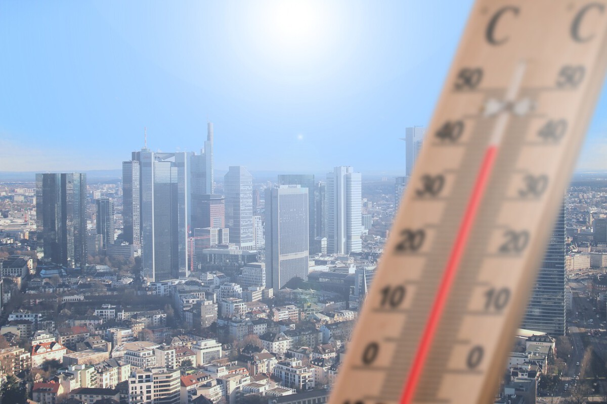
Heat Extremes That Shatter Safety Limits

Altus, Hollis, and Mangum recorded the most 100°F days with 53 days. That’s not just hot – that’s nearly two months of triple-digit temperatures. The average annual temperature across the contiguous U.S. was 55.5 degrees F — 3.5 degrees above the 20th-century average — ranking as the nation’s warmest year in NOAA’s 130-year climate record. Seventeen states — including Oklahoma — had their warmest year on record. When your state breaks its own heat records while simultaneously experiencing its wettest November ever, traditional forecasting models simply can’t keep up. The Oklahoma Mesonet’s 120 sites recorded December temperatures of at least 70 degrees on 126 occasions, with the highest reading of 76 degrees observed at several locations across multiple days.
Drought Conditions That Change Like a Light Switch

Drought conditions in Oklahoma were significantly reduced during December, shrinking from 18% coverage at the start of the month to just 6% by its end. Drought coverage had peaked earlier in the year, reaching 92% on Nov. 5. Imagine trying to predict water usage when 92% of your state is in drought one month, then suddenly it’s only 6% the next. In the central and southern Plains, however, drought conditions are likely to continue. Texas, Kansas, and Oklahoma are expected to see ongoing dry conditions, with little relief in sight. The statewide average precipitation total for December was 1.45 inches, 0.66 inches below normal, ranking as the 65th-driest December on record. The Panhandle received an average of just 0.03 inches, 0.74 inches below normal, ranking as the seventh-driest December on record for that region. These aren’t gradual changes – they’re whiplash conditions that make long-term planning nearly impossible.
Violent Tornadoes Arriving in Unexpected Packages
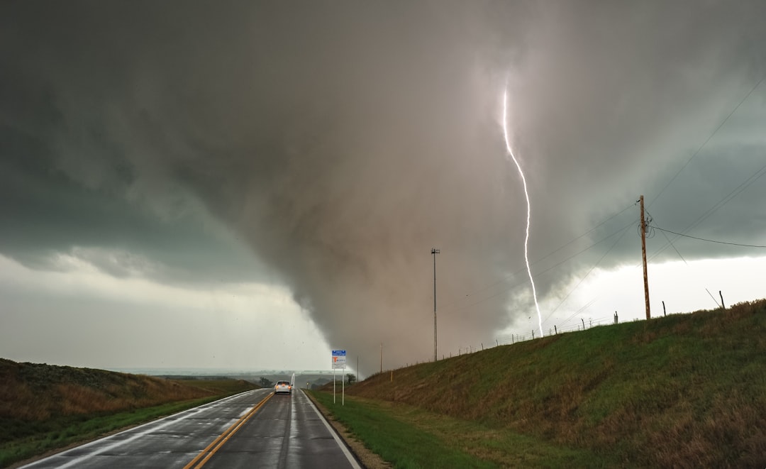
Most of the tornadoes were of the weaker EF0 and EF1 variety, accounting for 34 and 71 events, respectively. Among the stronger intensities, there were eight EF2, seven EF3, and two EF4 tornadoes. Four EF-4 tornadoes were confirmed during 2024, and occurred in Elkhorn, Nebraska (April 26); Marietta, Oklahoma (April 27); Barnsdall, Oklahoma (May 6) and Greenfield, Iowa (May 21). The problem isn’t just the number of tornadoes – it’s that they’re showing up in ways that don’t match historical patterns. Violent (EF4 or EF5) tornadoes made up just 0.5% of all tornadoes in the U.S. from 2000 through 2022. From 2000 through 2023, this tiny fraction of tornadoes was responsible for roughly half of all U.S. tornado deaths. The death toll from these 126 violent tornadoes (850 lives) exceeded the death toll from the other 27,317 tornadoes combined (820 lives).
Spring Forecasts That Can’t Keep Up With Reality
We normally average 59 tornadoes in a calendar year, but 2024 brought a whopping 152 tornadoes — breaking the previous record of 149 set in 2019. In just the first couple of weeks of March, Oklahoma has already recorded 13 tornadoes. Tornado Forecast: I’m calling for an average year overall — not as many tornadoes as 2024, but still slightly above average. Even the most experienced meteorologists are admitting they can’t predict what’s coming next. I’m watching mid-to-late April and into May closely, as we could have a few big, high-end severe weather days during that window. When your best forecast is essentially “brace for impact,” you know the science is struggling to keep up.
Winter Predictions That Miss the Mark Completely
The Farmers’ Almanac recently released its 2024-2025 winter outlook, and it’s looking like Oklahoma could see a mild and dry winter. The weather pattern will soon begin to shift into a La Nina, which will lead to warmer than normal and “drier than normal conditions through the cool season” for Oklahoma. So with that in mind, the Farmers’ Almanac is expecting Oklahoma to experience a warmish winter with above average temperatures and average to below average precipitation. Temperature-wise, Payne expects Oklahoma’s winter temperatures to stay close to average. As for snowfall, Payne anticipates below-average totals. “We’re going to be warmer … a little bit above average. Less snow than average.” But here’s the kicker – when your “predictions” are this vague and still get challenged by reality, it shows how unpredictable the weather has become.
Unprecedented Rainfall Patterns Confound Models

For the year, Oklahoma’s average rainfall total was 35.99 inches, 0.37 inches below normal, ranking as the 50th-wettest on record. The highest rainfall total for 2024 was 58.78 inches at Idabel, while the lowest was 18.87 inches at Eva. That’s a 40-inch difference between locations in the same state – imagine trying to plan anything with that kind of variation. Probabilities for a wetter-than-average June also exceed 60% over Oklahoma; where heavy rain—at least 3 inches and potentially more than 5— is predicted to fall in the first 10 days of the month, and the Week-2 and Week 3-4 outlooks also tilt wet. Meanwhile, southeast Oklahoma averaged 6.3 inches of rain, a surplus of 2.4 inches, making it the 13th-wettest December for that area. When different parts of your state are experiencing completely opposite conditions, how do you even begin to make statewide predictions?
Climate Prediction Centers Admit Their Limitations

Even those forecasts won’t be able to predict exact events, like snowstorms and blizzards. “It’s just not possible to do that,” Jon Gottschalck, Operational Prediction Branch Chief at NOAA’s Climate Prediction Center, told Nexstar. That’s a stunning admission from the people whose job it is to predict the weather. Five key themes emerged: inadequate verification approaches for both existing and emerging products; incomplete and uncertain observations; difficulties in accurately capturing users’ real-world experiences using simplified metrics; poor communication and understanding of forecasts and complex verification information; and institutional factors such as limited resources, evolving meteorologist roles, and concerns over reputational damage. While certain numerical modeling centers have nearly achieved full maturity, many operational forecasting agencies have ample data and metrics but struggle to convert them into actionable insights. When the experts are openly saying they can’t do their job properly, you know we’re in uncharted territory.
The Human Cost of Unpredictable Weather
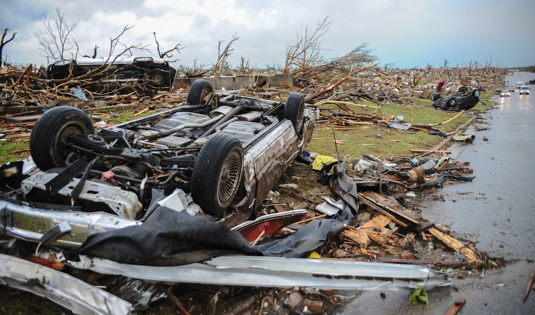
Eight tornado-related fatalities were reported, and countless Oklahomans took shelter multiple times as storms threatened their communities. 196 tornado warnings were issued statewide, the highest number in the nation for 2024. 988 severe thunderstorm warnings covered every square inch of Oklahoma at some point during the year. Think about the psychological toll of living in a state where you literally can’t escape severe weather warnings. The U.S. cost for these disasters in 2024 was $182.7 billion, and was the fourth-highest price tag on record. This ranks second highest for number of billion-dollar disasters in a calendar year, behind 2023’s 28 events. These aren’t just statistics – they represent families losing their homes, businesses shutting down, and entire communities living in constant fear of the next unpredictable weather disaster.
Technology Struggles to Match Nature’s Chaos
Norman’s massive center is a nucleus of scientific research, advanced technology and weather forecasting with more than 550 scientists, meteorologists and climatologists, as well as students and staff from OU and federal and state agencies working together. Many institutions and organizations are represented there, including the National Oceanic and Atmospheric Administration, the NOAA Cooperative Institute, OU’s School of Meteorology, the Storm Prediction Center, the Oklahoma Climatological Survey, the Radar Operations Center and the National Weather Service Forecast Office. You’d think with all this brainpower and technology, we’d be getting better at predictions. The National Weather Service runs regular seven-day forecasts for 48 counties in Oklahoma and eight counties in western north Texas. The local forecast office produces watches, warnings and advisories for all these counties, and the Storm Prediction Center issues severe thunderstorm and tornado watches. But when nature throws curveballs like a 52-degree temperature drop in one hour, even the most sophisticated technology becomes just expensive guesswork.
What would you have guessed – that our most advanced weather prediction systems would be stumped by Mother Nature’s latest tricks?