
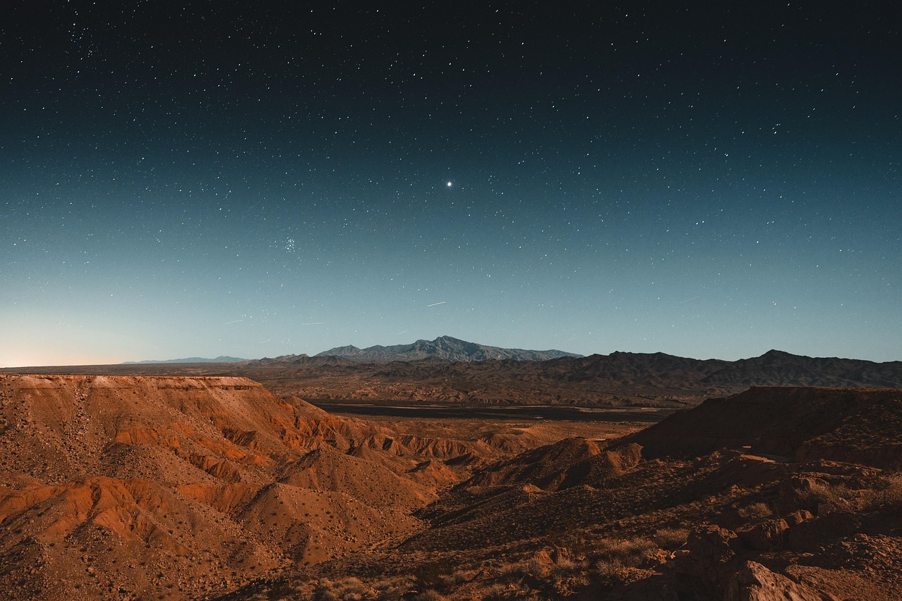
Texas Battles Relentless River Flooding from All Directions
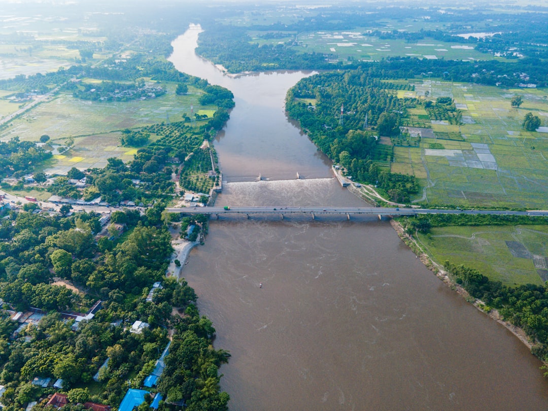
If you live in Texas, you’re staring down one of America’s worst flood nightmares. An estimated 1.8 million people in Texas are at risk of flooding. The state experiences frequent severe flooding events due to its diverse climate and topography, including hurricanes along the Gulf Coast, flash floods in the Hill Country, and river flooding from major waterways. The Lone Star State isn’t just dealing with occasional bad weather—it’s caught in a perfect storm of geographic factors that make it a riverine flooding hotspot.
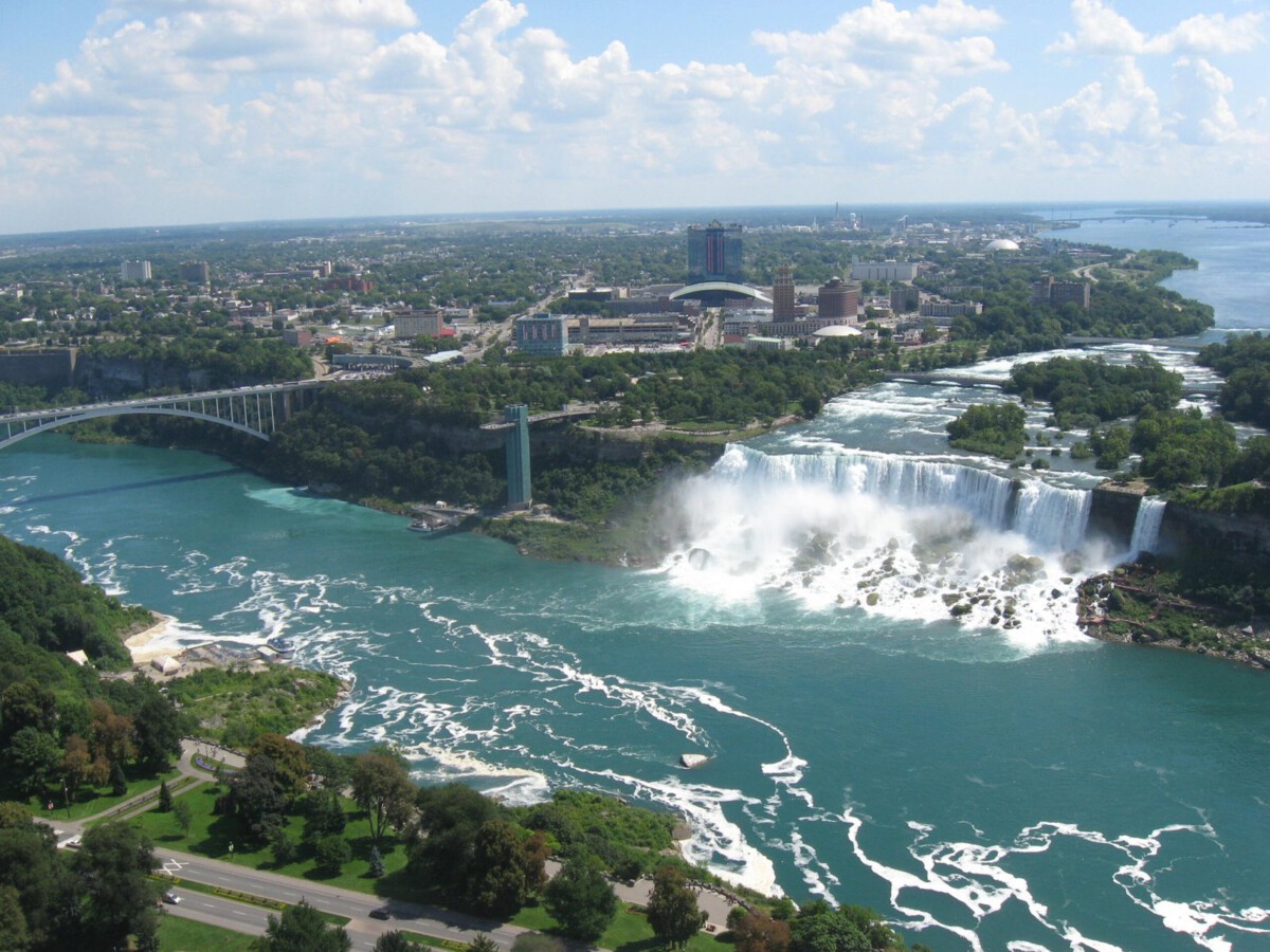
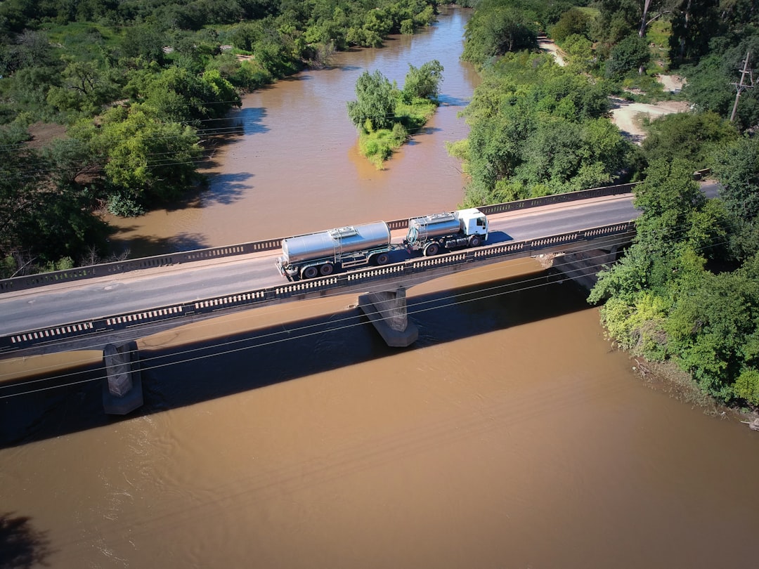
Harris County, which includes Houston, ranks as the #1 most flood-prone county in America, with an expected annual loss from riverine flooding of $676.2 million. When Hurricane Harvey hit in 2017, it wasn’t just the coast that got hammered—rivers throughout the state turned into raging torrents. Southeast Texas was hit by flash flooding repeatedly in the spring, and then hit again by Hurricane Beryl. That’s the brutal reality for Texas: multiple flood seasons that never seem to end.
Louisiana Drowning in a Geographic Nightmare
About 1.5 million residents in Louisiana live in flood-prone areas. The state’s proximity to the Gulf of Mexico, low elevation, and frequent hurricanes and tropical storms contribute to severe flooding. Heavy rainfall and storm surges are common, especially in low-lying areas. But here’s what makes Louisiana’s situation truly terrifying: the state is literally sinking while sea levels rise around it.
Louisiana accounts for a staggering 80% of the country’s coastal wetland loss, according to New Orleans’ Hazard Mitigation Plan. Think about that for a second—four-fifths of America’s disappearing coastline is happening in one state. Louisiana has the highest proportion of residents exposed to coastal flooding, at 38.4%, and the fourth-highest annualized frequency of coastal flood events (81.1). When rivers meet storm surge in Louisiana, communities get hit from every possible angle.
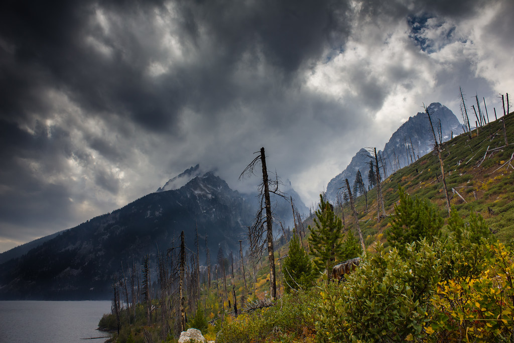
North Carolina’s Mountain Rivers Turn Deadly
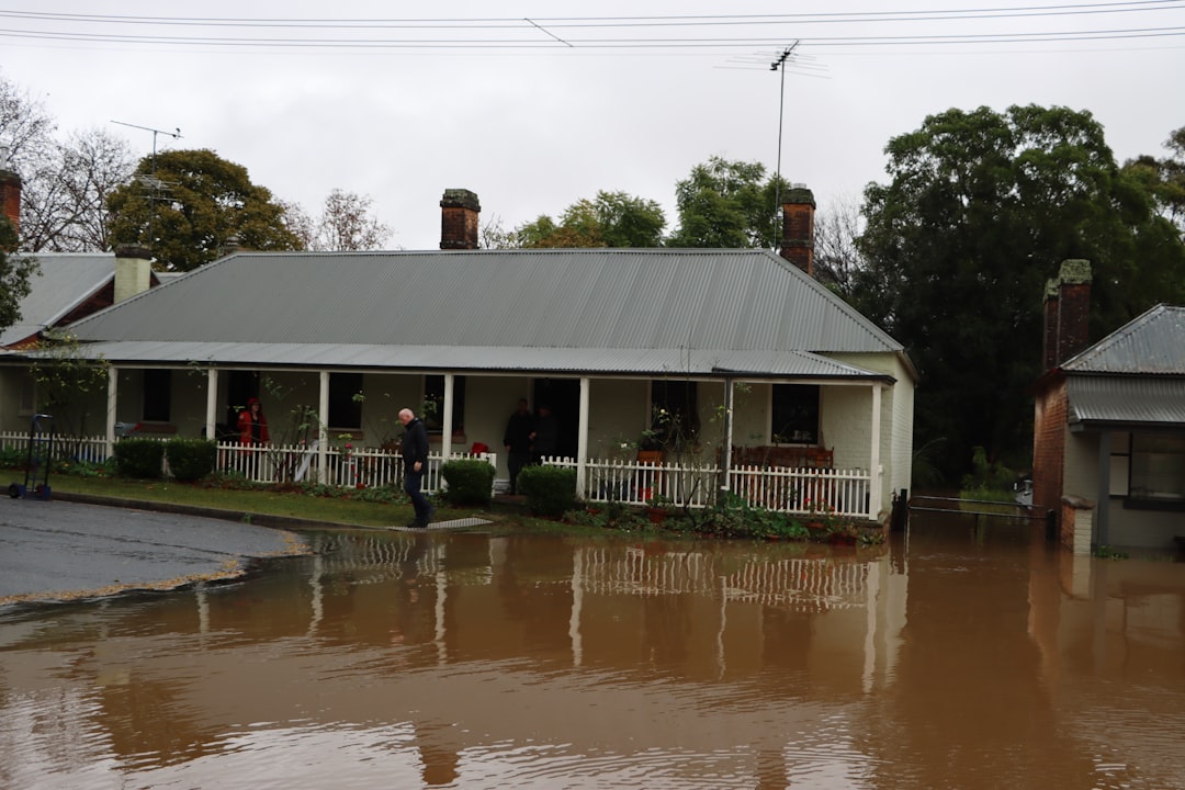
The mountains of North Carolina and Tennessee saw some of the year’s most devastating flooding as the remnants of Hurricane Helene hit in September. Heavy rain poured down mountains, turning creeks and rivers into torrents that washed away homes and vehicles. More than 100 people died in North Carolina, and six workers drowned when their plastics factory was inundated in Tennessee. This wasn’t just regular flooding—it was nature showing us what happens when rivers become weapons.
An estimated 1 million residents in North Carolina are at risk of flooding. The state’s position along the Atlantic coast makes it vulnerable to hurricanes and tropical storms, which can bring heavy rainfall and storm surges. The state’s rivers and mountainous regions also experience flooding from excessive rainfall. The combination of coastal storms and mountainous terrain creates a double threat: storm surge from the coast and flash floods racing down mountain valleys. On average, North Carolina loses over $141 million to flooding annually. The state has seen two devastating floods in the past decades, after Hurricane Florence in 2018 and Hurricane Matthew in 2016.
Why These Three States Can’t Catch a Break
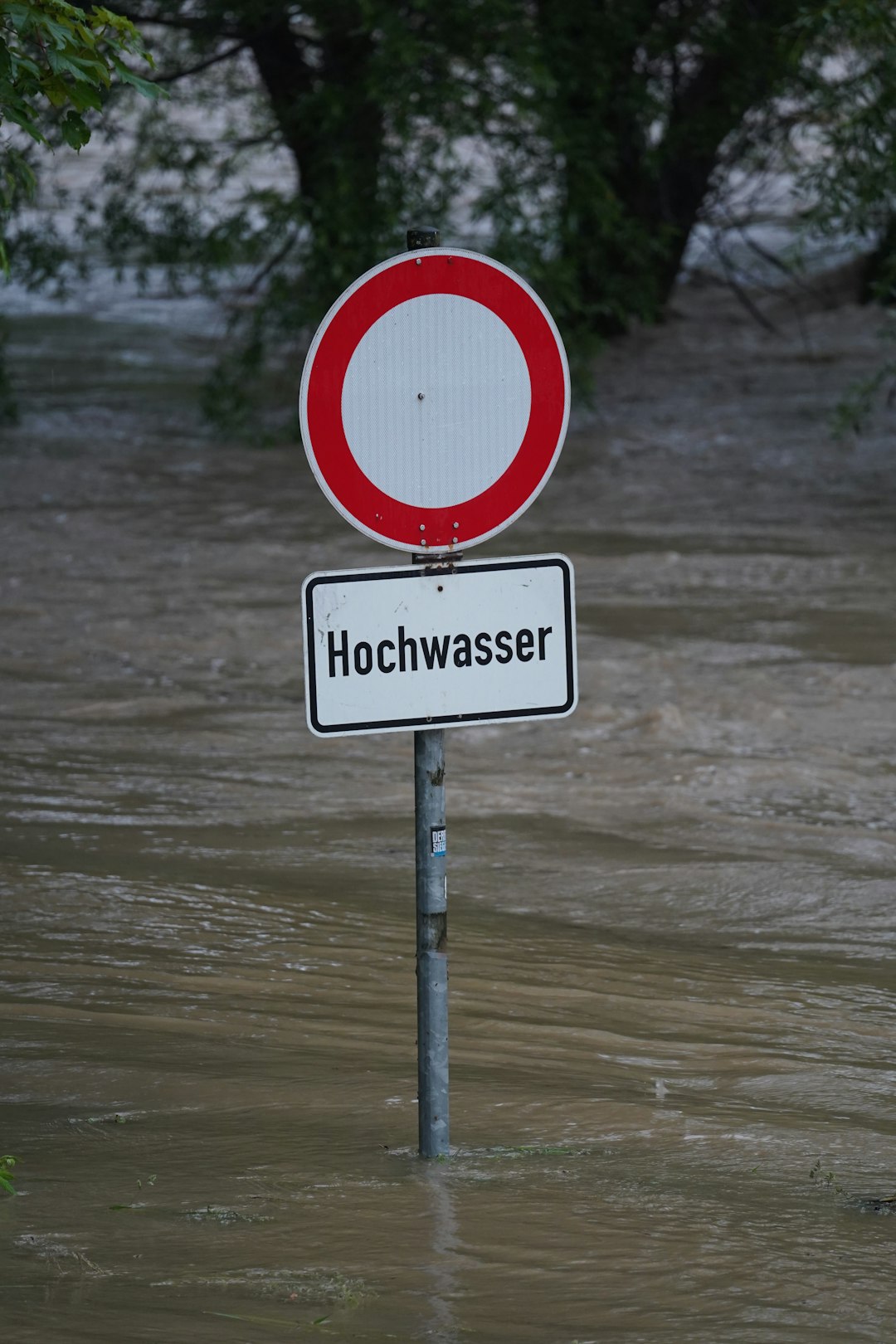
The brutal truth is that these states are trapped by geography and climate change. Storms like these are intensifying faster, weakening more slowly and producing more extreme precipitation that the land can’t absorb fast enough. Texas faces flooding from the Gulf Coast, the Hill Country, and major river systems all at once. Louisiana is literally disappearing beneath rising waters while dealing with some of the nation’s most active hurricane seasons. North Carolina gets hammered by coastal storms that dump incredible amounts of rain on mountains, creating deadly flash floods.
River flooding caused by hurricanes accounts for much of the risk in Texas and Louisiana. New Jersey’s top ranks are largely due to the high cost of living and high economic impact. But what makes these three states different is the sheer scale of people affected. “Flooding caused more damage in the United States than any other severe weather related event, an average of $5-$8.2 billion a year,” the Federal Emergency Management Agency stated, quoting NOAA data.
Delaware Sits Pretty with Minimal River Threats
While other states battle devastating floods, Delaware quietly enjoys one of the lowest natural disaster profiles in America. Delaware ranks among the states with the fewest total natural disasters, with only 19 major events since 1953. The First State’s compact size and stable geography work in its favor—there simply aren’t massive river systems or extreme elevation changes that create the perfect storm for catastrophic flooding.
Delaware’s position along the Atlantic coast means it deals with some coastal flooding during major storms, but the state lacks the large inland river systems that turn into raging torrents during heavy rainfall. The state’s flat terrain and relatively small watersheds mean that while flooding can occur, it rarely reaches the devastating scale seen in states like Texas or Louisiana. Delaware residents can sleep easier knowing they’re not sitting in a flood-prone danger zone.
Wyoming’s High Ground Advantage
Wyoming ranks as one of the safest states from natural disasters, with only 42 total disasters since 1953. The Cowboy State benefits from high elevation and relatively sparse population centers near major waterways. While Wyoming does have rivers, the combination of mountainous terrain, lower population density, and well-drained landscapes means flooding typically affects smaller areas and fewer people.
Wyoming’s rivers tend to be seasonal and predictable, fed primarily by snowmelt rather than the unpredictable tropical storms that devastate southern states. Precipitation over most of the Bighorn Mountains in north-central Wyoming was well below normal over the past month, particularly the southern part of the range. Snow drought conditions are present in the central and southern part of the Bighorn Mountains, where SNOTEL stations are reporting 48–92% of normal SWE. Even when Wyoming experiences drought conditions, the state’s geography prevents the kind of massive riverine flooding that plagues lower-elevation states.
Montana’s Geographic Shield
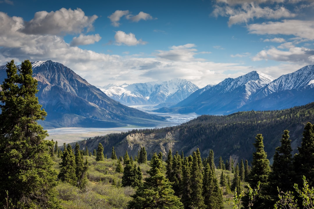
Situated in the west and along the Canadian border is Montana. Montana features both the Rocky Mountains and the Great Plains and is one of the safest states from natural disasters. It is generally safe from hurricanes, earthquakes, and tornadoes, however, it does experience flooding. With that said, there have only been five significant floods in Montana in the past century. Big Sky Country’s combination of mountains and plains creates natural drainage patterns that prevent catastrophic river flooding.
Montana’s rivers are typically fed by predictable snowmelt cycles rather than the chaotic storm systems that create flash floods. The state’s sparse population centers and vast open spaces mean that even when flooding occurs, it rarely affects large numbers of people or causes massive economic damage. However, the Marias and Upper South Saskatchewan Basins in northwestern Montana are still in snow drought, with SWE at 71% and 73% of normal, respectively. These conditions actually reduce flood risk by limiting the amount of water available for spring runoff.
Utah’s Desert Protection
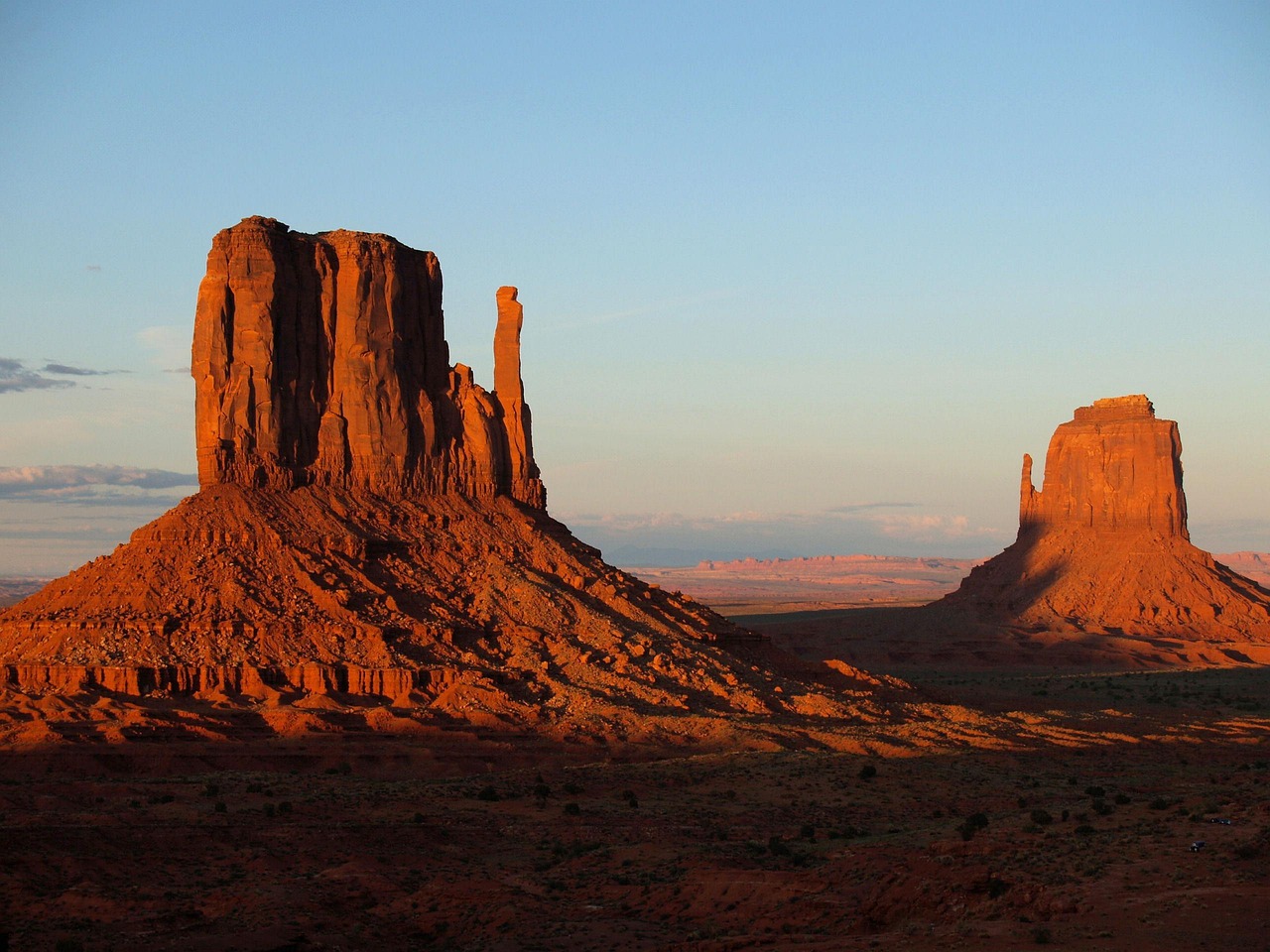
Utah’s arid climate and mountainous geography create natural barriers against major riverine flooding. Utah ranks among the states with lower natural disaster totals, with 51 major events since 1953. The Beehive State’s desert climate means that rivers and streams are typically smaller and more manageable than the massive waterways found in flood-prone states.
Snow drought conditions have persisted and, in some cases, intensified across central and southern Utah and southwestern Colorado. Thirteen SNOTEL stations scattered across south-central and southwest Utah report record-low snow water equivalent (SWE). While drought creates its own challenges, it significantly reduces the risk of major riverine flooding. Utah’s elevation changes and canyon systems also help channel water away from populated areas, reducing the impact when flooding does occur.
Nevada’s Dry Advantage
According to the National Weather Service, Nevada had six significant flooding events during the 1900s. In 2023, flooding left thousands of people stranded at the Burning Man Festival in Nevada, where at least one death was reported. The Silver State’s desert climate and minimal river systems make it one of America’s safest bets for avoiding riverine flooding disasters.
Nevada’s geography works like a natural flood defense system. The state’s basin-and-range topography means that water tends to collect in isolated valleys rather than flowing into massive river systems that can overflow and devastate entire regions. While flash floods can occur in desert washes during rare heavy rainfall events, Nevada lacks the major river systems and consistent precipitation patterns that create ongoing flood threats in other states.
Climate Change Intensifies the Divide

The reason for the increase in extreme rain is a warming planet that supercharges the water cycle with more evaporation, creating more precipitation. Last year was the earth’s warmest on record, beating the prior record from 2023, according to the National Aeronautics and Space Administration. “As the atmosphere warms, there is more evaporation and more water available for rain, which contributes to changing weather patterns and flood risks,” reports First Street, a climate risk data provider.
This creates a brutal reality: the gap between flood-prone and flood-safe states is widening. The frequency of these heavy downpours is increasing nationally, with the biggest increases in the Midwest and Northeast, according to scientists from the U.S. Global Change Research Program. States like Texas, Louisiana, and North Carolina are getting hammered harder and more frequently, while arid western states maintain their natural advantages against riverine flooding.
The Economic Reality of River Risk
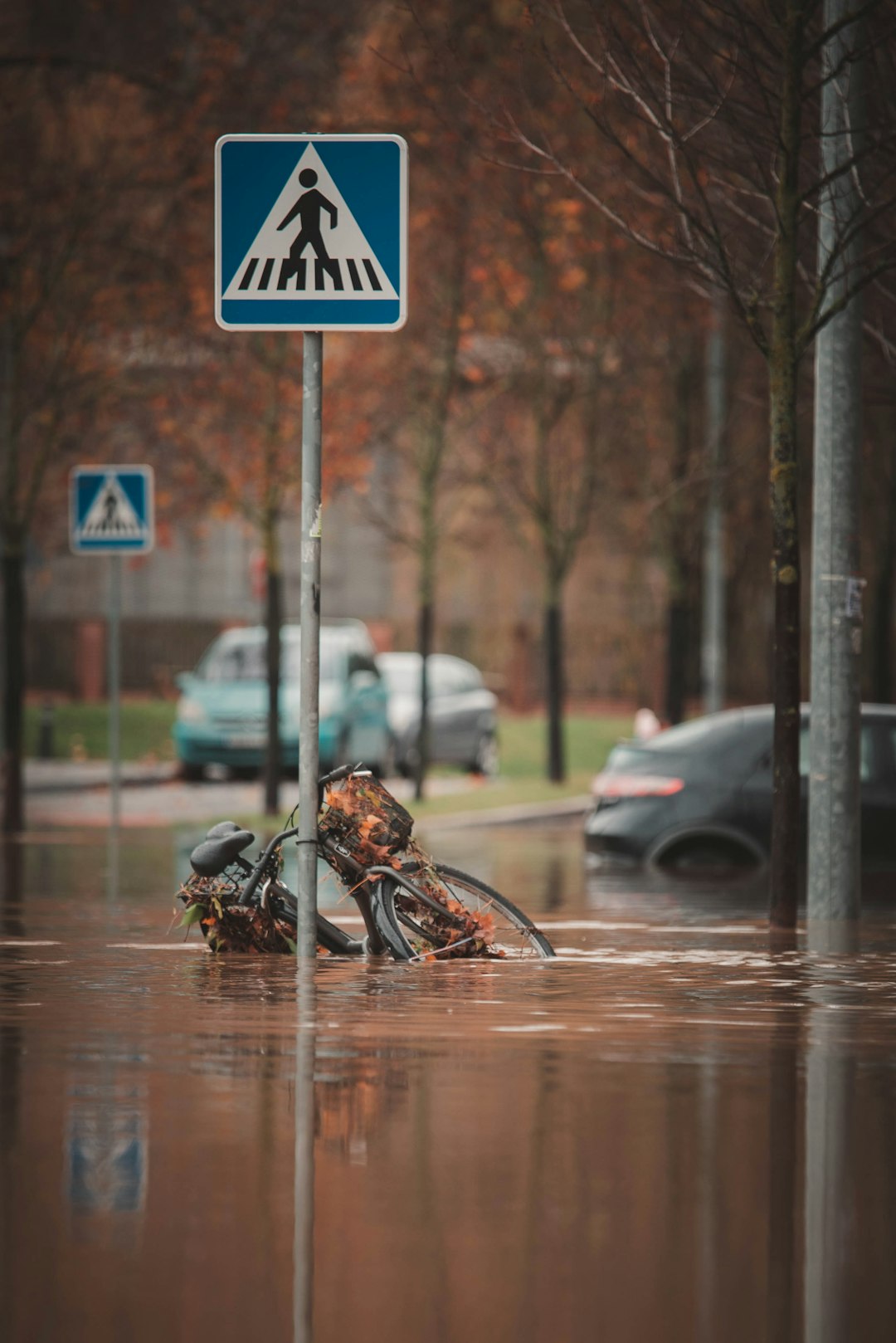
In 2024 alone, floods destroyed homes in over a dozen states and claimed more than 165 lives. The economic impact tells the story even more clearly. That annual loss goes up to $179.8-$496.0 billion per year when we consider the economic and tax losses, plus the cost of improving infrastructure to prevent another flood, according to the Senate’s Joint Economic Committee. Flooding is responsible for two-thirds of the cost of all natural disasters, according to FloodDefenders.org.
Meanwhile, states with minimal river flood risk enjoy economic stability that flood-prone areas can only dream of. Insurance costs remain manageable, infrastructure doesn’t need constant rebuilding, and communities can focus on growth rather than disaster recovery. The cheapest state for flood insurance is Alaska, with its current median cost being $412, whereas the most expensive is Connecticut, where the median lies at $1,174.
The Infrastructure Challenge
However, the streamgage network covers less than 1% of the nation’s rivers and streams. Deploying a single sensor costs over US$25,000 for permanent federal gauges, and nearly 70% of these costs can fall on communities. These high upfront costs, combined with rising operational expenses, significantly limit sensor coverage — particularly in small and urban watersheds prone to flash floods.
This monitoring gap hits flood-prone states harder than those with minimal river risks. States like Texas, Louisiana, and North Carolina desperately need comprehensive flood monitoring systems, but the cost is astronomical. Meanwhile, states like Nevada, Wyoming, and Utah can get by with minimal monitoring because their river systems pose less threat to begin with. It’s another example of how geography creates advantages that money can’t easily buy.
The stark reality is this: where you live determines whether rising rivers are an existential threat or a minor concern. Texas, Louisiana, and North Carolina face a future of intensifying flood disasters, while Delaware, Wyoming, Montana, Utah, and Nevada enjoy natural protection that climate change can’t easily overcome. The question isn’t whether more extreme flooding is coming—it’s whether you’re living in the path of the storm.