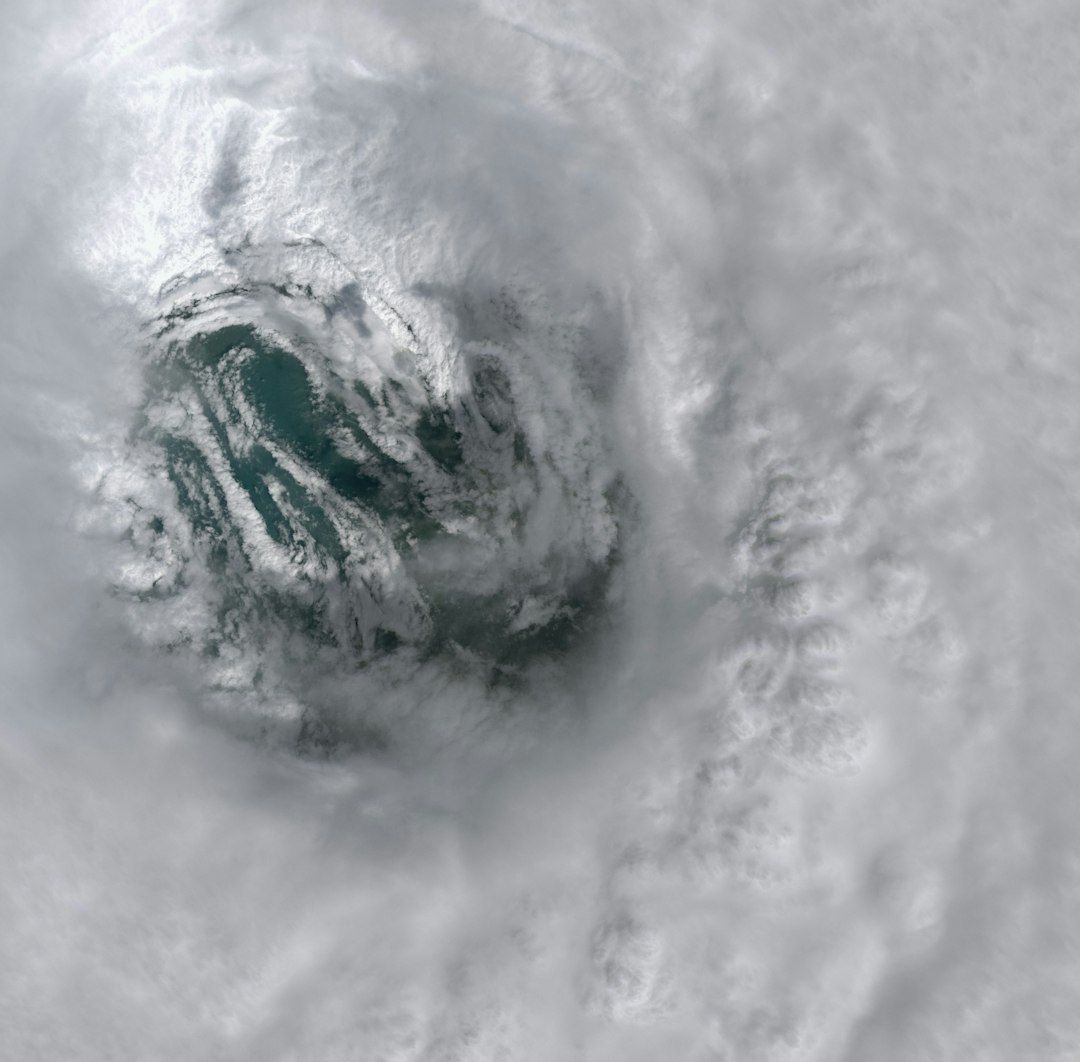
The Unthinkable Path of a Rogue Cyclone (Image Credits: Unsplash)
Imagine a storm’s swirling remnants defying the usual boundaries, slipping across vast oceans like a ghost from one sea to another under the dim glow of satellite eyes.
The Unthinkable Path of a Rogue Cyclone
Picture this: a cyclone that refuses to fade quietly. Cyclone Senyar started life in the extreme southeast Bay of Bengal, a typical tropical troublemaker born from warm waters and humid air. But instead of dissipating after its initial run, its core pushed onward, crossing into the western Pacific where no such storm from that region has dared to tread before.
This isn’t just any weather quirk. Experts call it a once-in-a-lifetime event, with the Japan Meteorological Agency spotting the reborn system as a tropical depression on November 29, 2025. While most cyclones peter out over land or cool seas, Senyar’s journey highlights how climate patterns can surprise even seasoned forecasters.
Strong winds and persistent moisture kept the system alive just long enough to make the leap. It’s a reminder that nature doesn’t always follow the scripts we write.
What Sparked Senyar’s Formation?
Back in late November, a low-pressure area brewed over the Andaman Sea, pulling in moisture from the surrounding tropics. By November 24, it had strengthened into a depression, then bloomed into the cyclonic storm named Senyar. The India Meteorological Department tracked its early moves, warning coastal areas like Tamil Nadu and the Andaman Islands of heavy rains and gusts up to 60 km/h.
Favorable conditions, including sea surface temperatures around 28-30°C, fueled its growth. Yet, as it neared the Strait of Malacca, shear winds and land interference began to weaken it. Still, enough energy lingered for the unexpected revival.
Crossing Invisible Boundaries
Ocean basins act like natural dividers for storms, with the Bay of Bengal feeding into the North Indian Ocean basin. Cyclones here usually curve north or west, slamming into India, Bangladesh, or Myanmar. Venturing east into the Pacific? That’s unheard of, thanks to geography and wind patterns that keep systems contained.
Senyar bucked the trend by threading through the narrow Malacca Strait, a waterway more known for shipping than storm crossovers. Satellite images from the Joint Typhoon Warning Center showed its low-level circulation holding steady, allowing regeneration over the warmer Pacific waters.
This path challenges our understanding of tropical cyclone behavior. Researchers now puzzle over whether warming oceans could make such migrations more common.
Impacts Felt Along the Way
Before its Pacific encore, Senyar doused parts of southern India and Indonesia with torrential downpours. In Tamil Nadu, schools closed as floods swamped low-lying areas, while fishermen in the Andaman Sea heeded warnings to stay ashore. The storm’s core dumped over 100 mm of rain in spots, easing droughts but sparking landslides.
As it weakened into a deep depression, threats eased for land, but rough seas disrupted maritime traffic. No major casualties emerged, a small mercy in the face of its erratic track.
- Heavy rainfall alerts for Kerala and Karnataka extended through November 28.
- Wind speeds peaked at 50-60 km/h during its Bay of Bengal phase.
- Evacuations in coastal villages prevented worse outcomes.
- Post-storm, focus shifted to rebuilding in affected Indonesian regions.
Why This Matters for Global Weather
Such a crossover isn’t just trivia for weather buffs. It signals potential shifts in how storms interact across basins, possibly linked to El Niño patterns or broader climate change. The western Pacific, already a hotbed for typhoons, now hosts an interloper that could influence local forecasts.
Forecasters at agencies like the IMD and JMA are poring over data to refine models. This event might prompt updates to tracking systems, ensuring better predictions for hybrid threats.
Lessons from Senyar’s Survival
Storms like this teach us resilience in unexpected ways. Senyar’s revival underscores the need for global vigilance, as weather knows no borders. From satellite tech to community prep, our tools must evolve to match these anomalies.
Looking ahead, similar systems could test emergency responses in Southeast Asia. It’s a call to action for investing in resilient infrastructure.
Key Takeaways
- Senyar’s journey from Bay of Bengal to Pacific is a rare, documented first.
- Warm waters and low wind shear were key to its persistence.
- This event highlights the interconnectedness of global weather patterns.
In the end, Cyclone Senyar’s tale is a wild reminder that the atmosphere plays by its own rules, blending drama with danger. What surprises might the next season bring? Share your thoughts in the comments below.


