
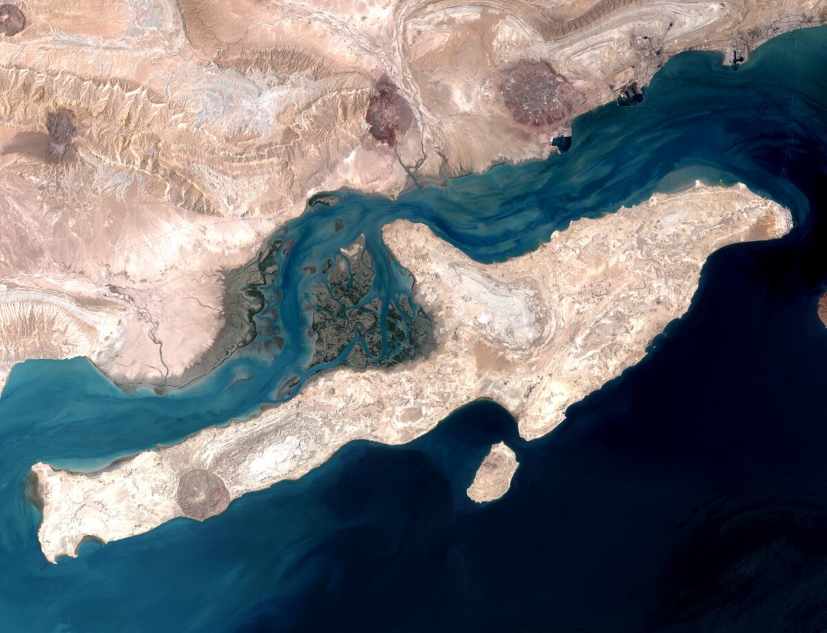
A Milestone in Hydrological Mapping (Image Credits: Upload.wikimedia.org)
A captivating satellite visualization illuminates the dynamic paths of rivers winding through continents, revealing patterns invisible from the ground.
A Milestone in Hydrological Mapping
Researchers marked a significant achievement when NASA’s Surface Water and Ocean Topography (SWOT) satellite delivered the first global estimates of river discharge and suspended sediment levels.[1][2]
The image depicts rivers as flowing lines in shades of green and blue across a world map, representing mean flows from March 2023 to May 2025.
This breakthrough combined satellite observations with ground measurements to produce unprecedented data coverage.
Previously, such comprehensive tracking proved challenging due to the sheer scale of Earth’s river networks.
Unpacking the SWOT Mission
NASA and the French space agency CNES launched SWOT in December 2022 to monitor surface water worldwide.
The satellite measures water levels, widths, and slopes in rivers wider than about 100 meters, along with lakes and reservoirs.
Teams processed the data through the open-source Confluence framework, which integrates outputs from six specialized algorithms.
This system also incorporates in-situ gauges and imagery from Landsat and Sentinel-2 satellites.
The resulting Level 4 products, archived at NASA’s PO.DAAC, offer time series of discharge organized by river reaches and nodes.[1]
Insights into a Vital Resource
Rivers transport freshwater, nutrients, and sediments essential for ecosystems and human needs.
Global discharge estimates now enable better forecasting of floods and droughts.
Suspended sediment data highlights water quality, aiding pollution tracking and erosion studies.
Climate scientists use these insights to model changes in the water cycle amid warming temperatures.
- Supports water resource management in basins lacking gauges.
- Improves extreme weather predictions worldwide.
- Enhances research on continental hydrology.
- Tracks sediment impacts on coastal deltas.
- Integrates with models for long-term environmental planning.
Key Takeaways
- SWOT provides the first holistic view of global river discharge and sediment from space.
- Data spans March 2023 to May 2025, covering thousands of river reaches.
- Confluence merges multiple sources for reliable, consensus estimates.
This visualization underscores the power of satellite technology to reveal Earth’s hidden water dynamics. It equips decision-makers with tools to safeguard rivers for future generations. Which river systems intrigue you most from this global perspective? Tell us in the comments.