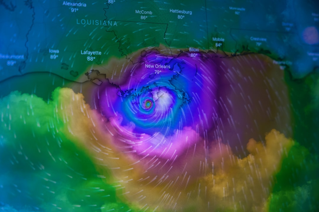
Upper-Level Winds Set the Stage for a Calm Pattern (Image Credits: Unsplash)
As a cold front edges closer to the warm Gulf waters this weekend, expect some building clouds and the rumble of distant thunder along coastal stretches, keeping things interesting without tipping into danger.
Upper-Level Winds Set the Stage for a Calm Pattern
A massive mid-level trough is carving its way across the Northeast right now, while another one nudges into the Plains from the west. This setup is pushing high pressure over most of the country, from the Rockies all the way to the East Coast. It feels like nature’s way of hitting pause on wild weather.
Still, that high pressure isn’t all-encompassing. On its southern edge, things get a bit more dynamic, especially near the Gulf. Dew points hovering in the mid-60s Fahrenheit are providing just enough fuel for some storm activity, but nothing that screams emergency.
Cold Front’s Slow Dance Toward Florida and Beyond
Picture this: a chilly front sliding in from the north, reaching the Gulf Coast and Florida Peninsula by early Sunday. It’s not barreling through; instead, it’s taking its time, stirring up low-level convergence that could spark scattered thunderstorms. Low-level winds are key here, funneling moisture and lift right where it’s needed.
Ahead of this boundary, the atmosphere holds onto that Gulf humidity, creating pockets of buoyancy. Forecasters see potential for a few rumbles, but the energy levels stay modest. No hail, no damaging winds – just the occasional flash to light up the evening sky.
Thunderstorm Hotspots: Eyes on the Coastal Zone
The prime action unfolds along the Gulf Coast, where that front meets the sea breeze. Scattered cells could pop up from Louisiana to the Florida Panhandle, driven by the clash of air masses. It’s the kind of setup that keeps beachgoers glancing at the horizon.
Buoyancy comes from those elevated dew points, paired with subtle lift from the front. However, shear and instability aren’t stacking up for anything fierce. Expect isolated storms, maybe a downpour or two, but they should fizzle out quickly as the front pushes through.
A Flicker in the Rockies: Lightning Without the Drama
Farther inland, the central Rockies might catch a spark or two from cooler air slipping overhead with the passing trough. It’s a pocket of instability, but so marginal that thunder probabilities don’t even make the cut. Just sparse lightning flashes, if anything develops.
This is typical for late fall in the mountains – cool aloft, but surface warmth struggles to punch through. Any activity here stays light, more of a sideshow than the main event. Locals know to respect the heights, even on quieter days.
Implications for the Weekend: Travel and Outdoor Plans
For folks hitting the road or firing up the grill along the coast, this forecast means packing a rain jacket but skipping the storm shelter. Thunderstorms could disrupt afternoon plans in spots, especially near the shore. Boaters and fishers should monitor updates closely.
Overall, it’s a green light for most activities, with severe risks off the table. That said, isolated lightning remains a wildcard – always smart to have an indoor backup. The rest of the country basks under that high pressure dome, perfect for clear skies and mild temps.
Safety Tips for Mild Storm Days
Even without severe threats, thunderstorms pack enough punch to catch you off guard. Here’s a quick rundown of essentials:
- Check local radar apps before heading out, especially if you’re near the coast.
- Seek shelter indoors at the first rumble – lightning can strike far from the rain.
- Secure loose outdoor items ahead of gusty winds from any developing cells.
- Stay hydrated; that Gulf humidity won’t let up, even with clouds rolling in.
- Drive cautiously if rain hits – slick roads are the real hazard here.
Key Takeaways
- No severe thunderstorms expected; focus on scattered, non-threatening activity.
- Gulf Coast sees the most potential, with the front arriving Sunday morning.
- Rockies might get minor lightning, but it’s too weak for formal alerts.
In the end, this Day 2 outlook paints a picture of restrained weather drama – enough to keep the atmosphere humming, but not enough to derail your weekend. It’s a reminder that even quiet forecasts deserve a glance. What are your plans if a shower pops up? Share in the comments below.


