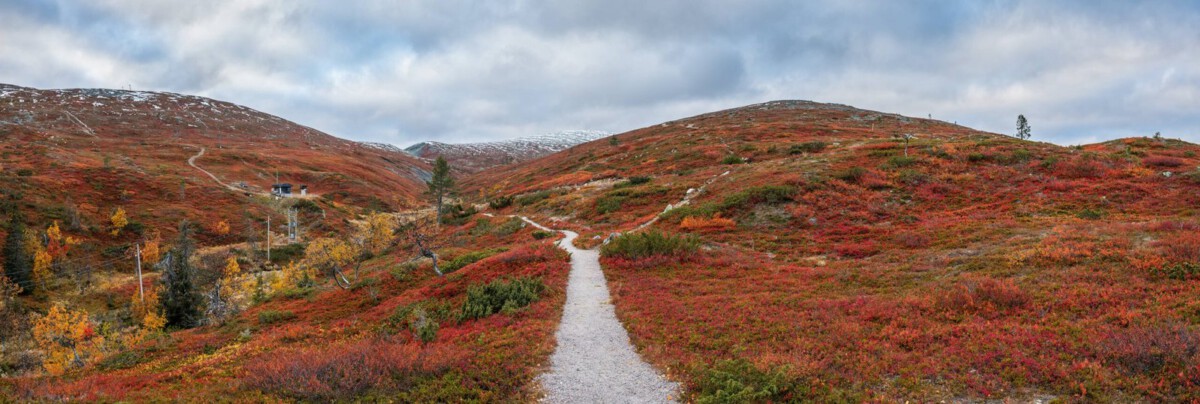
La Niña Makes a Stronger Entrance (Image Credits: Unsplash)
Pacific Northwest – Crisp mornings with a bite in the air signal the shift toward winter, as cooler ocean currents stir up patterns that could reshape the season ahead.
La Niña Makes a Stronger Entrance
Imagine the vast Pacific Ocean cooling off in just the right spot, flipping the switch on weather across the continent. That’s La Niña in action, and right now, it’s gaining strength faster than expected. Recent data shows sea surface temperatures in the key Niño 3.4 region dipping below -0.9°C, pushing us into moderate territory.
This isn’t some fleeting cool spell. Forecasts from NOAA point to La Niña sticking around through the heart of winter, potentially influencing everything from daily highs to mountain snowpack. For folks in the Northwest, that means paying closer attention to the skies as we head into December.
Why does this matter so soon? The transition from weak to moderate has happened quicker than in past cycles, setting the stage for more pronounced effects.
The Classic La Niña Blueprint for the Region
Picture a stubborn high-pressure ridge parked over the Gulf of Alaska, like a bouncer keeping warm air at bay. That’s the hallmark of La Niña winters here, steering chilly northerly winds straight into Washington and Oregon. Temperatures often run a few degrees below average, turning mild falls into frosty preludes to the real cold.
Precipitation gets a boost too, especially in the form of snow. The jet stream dips southward, loading up the Cascades with heavier dumps than usual. Historical patterns show this setup delivering above-normal snowfall in places like the Olympics and Snoqualmie Pass.
Still, it’s not all relentless winter. Every now and then, a powerful low-pressure system sneaks under that ridge, bringing gusty winds and rain to the lowlands.
Short-Term Chills: What’s Brewing This Week
Over the next few days, models are painting a textbook La Niña picture. Upper-level charts reveal that ridge building offshore, funneling northwest winds across the region by Saturday. Expect highs dipping into the upper 40s around Seattle, with overnight lows flirting with freezing.
Sunday morning could see widespread frost, particularly east of the Sound and in the valleys. Surface forecasts highlight much of inland Washington in the 20s and 30s, a solid cooldown from recent norms. If you’re in the Puget Sound area, protect those tender plants – the first hard freeze of the season might just arrive.
This early taste isn’t isolated. It aligns with broader outlooks suggesting a cooler, wetter vibe persisting into early December.
Snow Lovers Rejoice: Impacts on Precipitation and Mountains
La Niña often means more moisture funneled toward the Northwest’s peaks. Think deeper snow bases for skiers and better water reserves come spring. The Climate Prediction Center’s latest update leans toward wetter conditions in northern areas, contrasting with drier spells farther south.
But snow isn’t guaranteed everywhere. Lowland areas might see more rain than flakes unless that northerly flow intensifies. For context, past moderate La Niña events have boosted Cascade snowfall by 20-30% above average.
- Mountain passes: Heavier accumulations, ideal for winter sports.
- Coastal zones: Milder but wetter, with occasional wind events.
- Eastern slopes: Colder snaps leading to quick snow cover.
- Urban spots like Portland: Chilly rains, rare lowland snow.
- Overall: Enhanced storm track from the Pacific, upping totals.
Temperature Swings and Daily Life Adjustments
Cooler air from Alaska doesn’t just mean thermometers dropping; it reshapes routines. SeaTac forecasts show averages around 47°F for highs this week, well below the typical 50°F. That northerly push keeps things brisk, especially at dawn when valleys chill fastest.
For drivers and gardeners, it’s a wake-up call. Icy roads could pop up on bridges, and sensitive crops need covering. Yet, this setup often spares extreme cold waves, opting for steady, below-normal chills instead.
Looking broader, the season might average 2-4°F cooler region-wide, per recent model consensus. It’s a gentle nudge toward winter preparedness without the full Arctic blast.
Beyond the Northwest: A Quick National Glance
La Niña’s reach extends far, drying out the Southwest while greasing the wheels for northern storms. In the U.S., southern states brace for warmth and drought risks, while the northern Plains see more snow potential. Here in the Northwest, we’re on the wetter, cooler side of that divide.
This pattern echoes recent forecasts from sources like Weather.com, which highlight La Niña’s persistence through winter. It could even influence holiday travel with slicker passes and fog-prone mornings.
One wildcard: If the event weakens mid-season, we might see a flip to neutral conditions by spring. For now, though, the cool signature dominates.
Key Takeaways
- Moderate La Niña means cooler temps and more snow for the Northwest.
- Expect early frosts and northerly winds starting this week.
- Prepare for a wetter winter, boosting mountain snowpack.
As La Niña settles in, the Pacific Northwest gears up for a winter that’s likely cooler and snowier than last year – a refreshing change for powder hounds but a reminder to bundle up. What are your plans for the season’s first chills? Share in the comments below.


