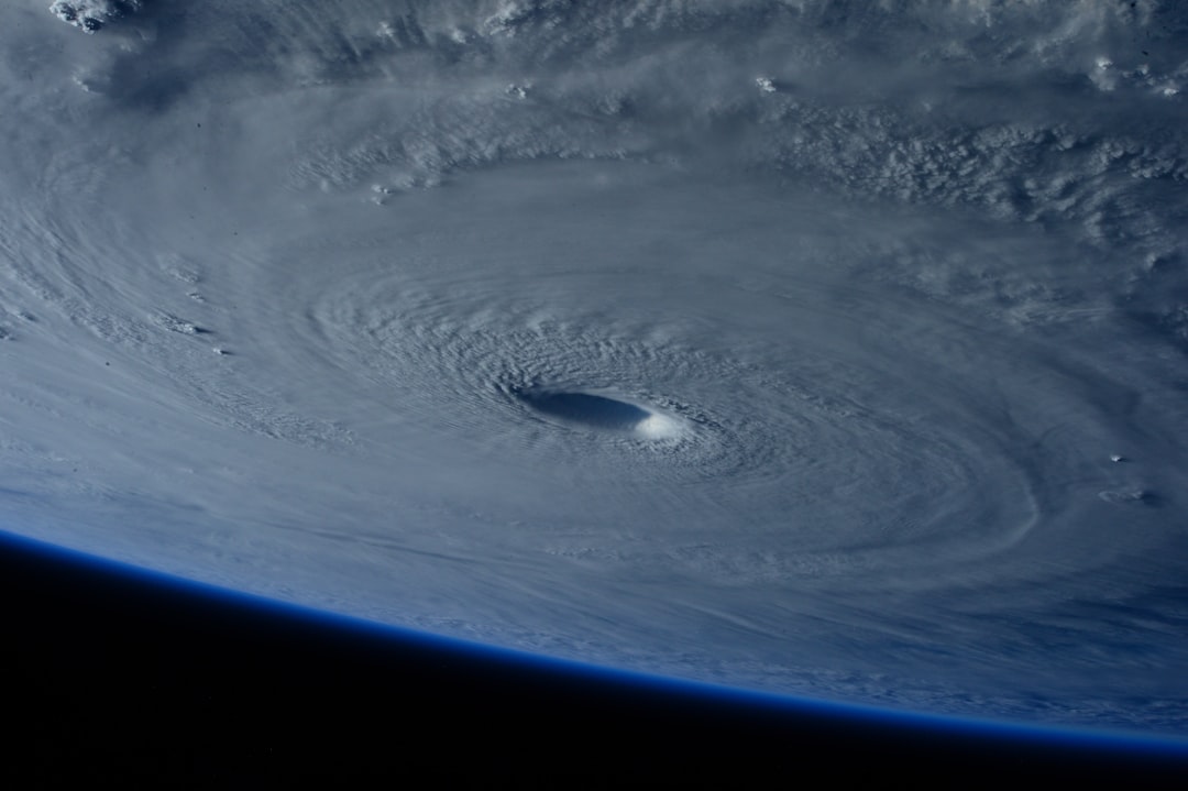
No Major Storms, But Swells Are Building (Image Credits: Unsplash)
As the final days of hurricane season unfold, the vast expanse of the Atlantic feels deceptively quiet under a blanket of high pressure, yet hints of choppy waters stir in the distance.
No Major Storms, But Swells Are Building
Here’s the good news to start: forecasters aren’t seeing any signs of tropical cyclones forming anytime soon. That said, a developing trough in the tropical North Atlantic is about to shake things up. Stretching from around 10N to 25N near 45W, this feature ties into a broader upper-level pattern that’s pushing things westward.
Expect fresh to strong east-to-southeast winds kicking in between the trough and a stubborn high pressure system over the north-central Atlantic. By Sunday and Monday, seas could turn rough to very rough from 15N to 30N east of 60W. Picture waves piling up to 12 feet between 20N and 25N from 45W to 60W come early Monday – enough to make any offshore trip bumpy.
These conditions should ease by late Monday or Tuesday as the trough drifts further west to 65W. Still, it’s a reminder that even without hurricanes, the ocean doesn’t take a break.
Gulf of Mexico: Dry Skies with Gusty Breezes
A powerhouse high pressure centered over the Carolinas is keeping the Gulf mostly dry and stable right now. That dominance means fresh to strong southeast winds hugging the Texas coast and northeast-to-east gusts across the southeast Gulf and Straits of Florida.
Recent satellite data paints a clear picture: rough seas in the Straits, up to 8 feet near the Yucatan Channel from northern swells, and 6 to 8 feet off Texas after a recent warm front. Elsewhere, gentle to moderate easterlies hold sway with 5 to 7 foot seas.
Looking ahead, winds and waves should calm tonight as the high shifts east. A cold front will nudge off Texas Sunday, stalling along the coast through Monday. Weak low pressure might tag along, heading toward the Carolinas, while another front brews for Tuesday.
Caribbean Waters: Showers and Steady Trades
Scattered showers and thunderstorms are popping up along a stationary front from central Cuba to central Belize, keeping things lively in spots. North of that line, fresh to strong northeast winds whip through the Yucatan Channel, stirring rough seas.
Down south, similar activity brews over the southwest Caribbean thanks to upper-level divergence and surface convergence. Moderate to fresh northeast-to-east trades cover the rest of the basin, with seas at 5 to 7 feet.
The forecast calls for sustained trades in the southwest and south-central areas overnight, easing to moderate elsewhere through the weekend. That front should fade by late Saturday, dialing back the northerlies and rough spots. Come Monday and Tuesday, a slack pressure gradient promises calmer marine vibes across the board.
Atlantic Overview: Fronts and Ridges at Play
A stationary front snakes from Bermuda through the central Bahamas to central Cuba, sparking scattered moderate convection along its path. Behind it, a strong ridge over the east-central U.S. drives fresh to locally strong north-northeast winds and 5-to-8-foot seas, peaking in the Florida Straits.
In the central and eastern tropics, a subtropical ridge southwest of the Azores keeps moderate to fresh easterlies flowing, with similar sea heights. Lighter winds and moderate seas fill in the gaps elsewhere.
West of 55W, the front dissipates by Sunday, letting high pressure slide east and tame the winds. A new weak front eases off northeast Florida Monday, stalling before lifting north. Southerlies could build north of 29N west of 75W Tuesday as low pressure shifts from the Gulf to the Carolinas.
Key Forecast Shifts to Watch This Week
Strong southerlies north of 28N will pivot east through mid-week, courtesy of an incoming cold front off northeast Florida Tuesday night into Wednesday. That system could stretch from Bermuda to South Florida by late Wednesday.
Meanwhile, a westward-moving trough northeast of the Leeward Islands brings strong winds and rough seas Sunday through Tuesday. In the eastern Atlantic, the monsoon trough and ITCZ linger near 08N13W to 09N55W, with scattered moderate convection from 04N to 07N between 10W and 25W.
- Monitor swells east of 60W for impacts on shipping and small craft.
- Track the stalling front in the Gulf for potential low pressure development.
- Keep an eye on Caribbean trades for any lingering shower activity.
- Prepare for building winds ahead of the next Atlantic front mid-week.
- Note the ITCZ’s position for eastern Atlantic convection patterns.
Staying Safe on the Water
With hurricane season wrapping up November 30, the focus shifts to these non-tropical hazards like swells and fronts. Boaters and coastal folks should check updates from the National Hurricane Center regularly.
Conditions can change fast, especially with fronts stalling or troughs approaching. If you’re planning offshore, factor in those 12-foot seas and strong winds – better safe than sorry.
Key Takeaways
- No tropical cyclone threats in the next seven days.
- Rough seas building in the central Atlantic due to an incoming trough.
- Multiple fronts will influence winds and waves across the Gulf, Caribbean, and Atlantic through mid-week.
In the end, this quiet close to the season underscores how the Atlantic’s weather keeps us on our toes, even without the big storms. What’s your take on these late-season patterns – relief or just waiting for the next twist? Drop your thoughts in the comments below.


