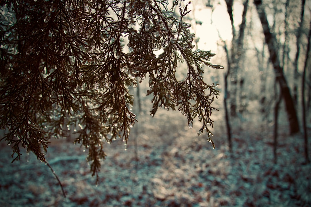
Heavy Snow Hits Without Warning (Image Credits: Unsplash)
St. Louis – Flurries dance under overcast skies as the first real taste of winter settles in, turning familiar streets into a slippery challenge.
Heavy Snow Hits Without Warning
The sudden arrival of this winter storm caught many off guard, blanketing the area with wet snow that started falling early this morning. Areas north of the city saw the worst of it, with accumulations building up quickly on roads and sidewalks. It’s the kind of weather that reminds everyone why Missouri winters can turn unpredictable in a flash.
Local forecasts from the National Weather Service point to several inches possible along the I-70 corridor, mixing sleet and rain in spots. This isn’t just a light dusting; it’s enough to snarl traffic and test drivers’ skills. By midday, the transition to cold rain kept things messy, but the real story is how fast conditions deteriorated.
Roads Turn Treacherous Overnight
Interstates like I-70 and I-44 became nightmares as snow piled up before dawn, leading to multiple accidents and slowdowns. Reports from early risers describe black ice hiding under fresh powder, making even short commutes risky. The Missouri Department of Transportation urged folks to stay off the roads unless absolutely necessary.
Cities around St. Louis, from Chesterfield to Edwardsville, dealt with plows working overtime. Visibility dropped to under a mile in heavier bands, turning what should have been a routine Saturday into a stay-home advisory. It’s a stark reminder of how a single storm can flip the script on weekend plans.
Power Outages and Daily Disruptions
As winds picked up, gusts battered power lines, sparking scattered outages across the region. Thousands woke up without heat or lights, especially in rural spots north of the river. Utility crews mobilized quickly, but the cold amplified the discomfort for those affected.
Schools and the zoo shut down, while events got canceled left and right. Grocery stores saw a rush for essentials like milk and bread, echoing the classic pre-storm scramble. Though the storm’s core was brief, its ripple effects lingered through the afternoon.
What’s Next for the Cold Snap?
Temperatures plunged after the snow eased, with highs barely scraping freezing for days ahead. Sunday brought clearer skies but no warmup, setting the stage for potential flurries early next week. Forecasters eye light accumulations that could stick due to the subzero nights.
The broader pattern suggests a colder-than-average stretch through December, bucking milder trends from recent years. Residents might need to dig out winter gear sooner than expected. It’s shaping up as a season that demands vigilance from the get-go.
Stay Safe: Essential Preparation Tips
With more wintry weather on the horizon, stocking up makes all the difference. Keep your vehicle’s tank full and emergency kit handy, including blankets and a scraper. Indoor prep is key too – charge devices and have non-perishables ready for any extended outages.
- Check tire treads and add winter mix to your washer fluid.
- Layer up with hats, gloves, and sturdy boots for any outdoor ventures.
- Monitor updates from local sources like FOX 2 or the NWS St. Louis office.
- Clear snow from vents and doorways to avoid buildup issues.
- Plan alternate routes or work-from-home options if travel looks dicey.
- Test smoke and carbon monoxide detectors, as heating systems get a workout.
These steps can turn a potential headache into a manageable blip. Simple habits now pay off big when the next front rolls in.
Key Takeaways
- Snow accumulations of 2-4 inches hit hardest north of St. Louis, with sleet mixing in.
- Gusty winds and cold air will keep roads slick into next week.
- Preparation beats reaction – focus on safety to weather the storm smoothly.
This storm serves as an early wake-up call for St. Louis winters: they’re fierce, fast, and unforgiving, but a little foresight keeps everyone one step ahead. What’s your go-to tip for handling snow days? Share in the comments below.


