Picture this: vast expanses of cracked earth where water once lapped at boat hulls, now giving way to stone foundations and weathered walls rising like forgotten memories. Lake Mead, America’s largest reservoir, sits perilously low, exposing a submerged world few alive today ever knew. What’s causing this dramatic reveal, and what tales from over a century ago are finally seeing daylight?
Let’s dive into the story of St. Thomas, Nevada, the thriving community drowned nearly 90 years back, now haunting the shores once more.[1]
A Pioneer Settlement Takes Root
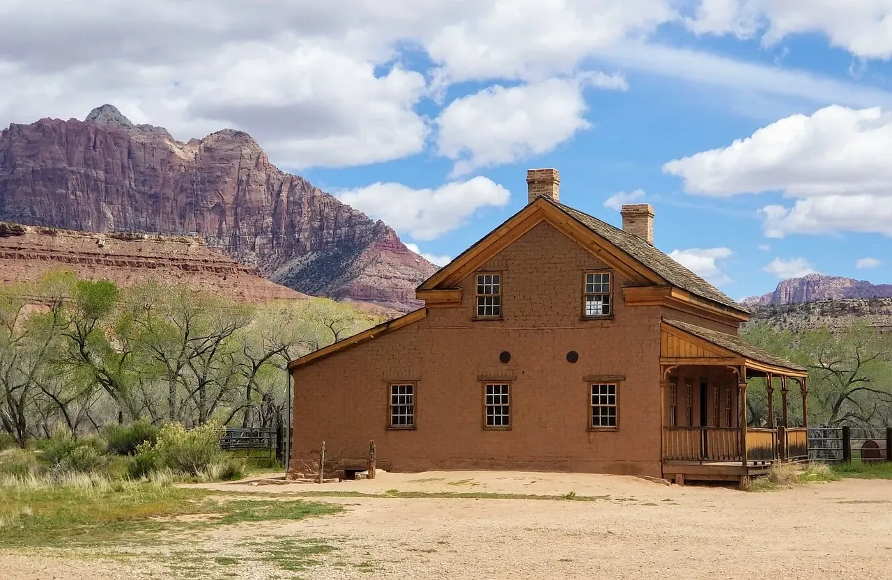
Mormon pioneers first staked their claim in St. Thomas around 1865, drawn to the fertile Virgin River valley for farming and ranching. They built homes, a schoolhouse, and even a hotel, turning a harsh desert spot into a bustling outpost. By the 1880s, new settlers swelled the numbers to roughly 500 souls, complete with stores and a post office.[2]
Life there felt worlds away from the big cities, yet connected by trade routes. Honestly, it’s tough to picture that vibrancy now amid the mud flats.
Prosperity in the Desert Oasis
The town hit its stride in the early 1900s, supporting farms that shipped produce as far as California. A sturdy church anchored the community, while kids attended classes in a dedicated school. Electricity arrived late, but folks made do with grit and ingenuity.
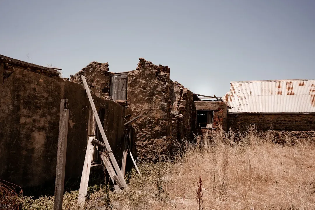
Artifacts like rusted tools and building stones still whisper of those self-sufficient days.[1] Here’s the thing: without modern woes, they thrived against odds that seem insane today.
Hoover Dam Looms on the Horizon
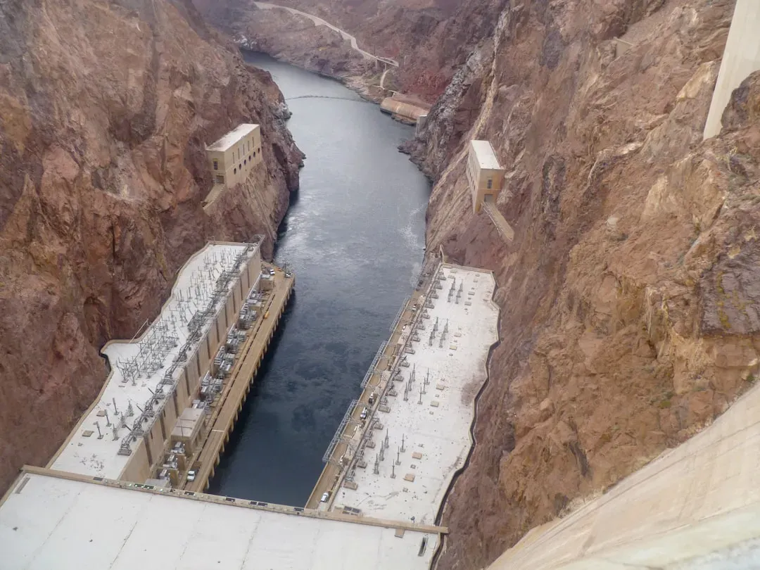
Everything shifted in the late 1920s when Congress greenlit Hoover Dam to tame the Colorado River. St. Thomas lay smack in the flood zone for the new Lake Mead reservoir. Residents got relocation deals from the government, but heartbreak hung heavy as surveys marked their doom.[3]
Families packed up livestock and heirlooms, watching surveyors plot the rising waters. Yet, no one grasped the full scale back then.
The Creeping Flood Waters
Filling began in 1935, with waters inching toward the valley floor. By 1938, the last holdouts rowed away as streets vanished under the reservoir. At full pool, the tallest structures sat 60 feet deep, preserved in murky silence.[4][1]
The town slipped below without fanfare, its secrets sealed for generations. Wild how progress buried a whole chapter of American history.
Decades Beneath the Waves

For over 60 years, St. Thomas moldered underwater, fish darting through empty windows. Divers occasionally glimpsed foundations, but the site stayed off-limits most times. Lake Mead powered cities and farms, oblivious to the drowned village below.
Corrosion and silt guarded its past fiercely. It’s almost poetic, that hidden world waiting patiently.
First Glimpse After the Long Sleep
Drought dropped levels enough in 2002 for the ruins to peek out, drawing curious hikers. National Park Service rangers installed signs detailing the pioneer saga. Visitors marveled at exposed streets and cellars, a time capsule unearthed.[5]
That peek was fleeting, as rains refilled the lake soon after. Still, it whetted appetites for more reveals.
The Megadrought’s Relentless Grip
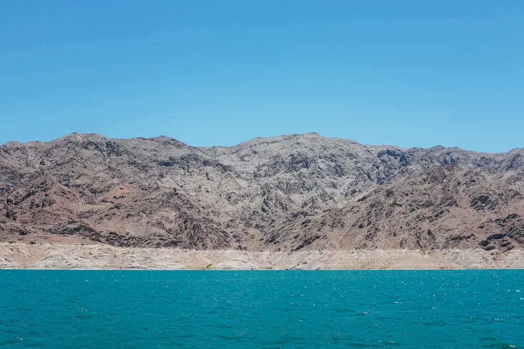
Starting around 2020, a historic megadrought parched the Southwest, slashing inflows from the Colorado River. Lake Mead plunged over 150 feet below full pool, exposing boats and bodies alongside towns. Climate shifts and overuse compounded the crisis, hitting record lows by 2022.[6]
St. Thomas resurfaced fully, its mud-caked relics stark against the basin. No end in sight, though cuts in water use help a bit.
2026 Water Levels Hit Critical Lows
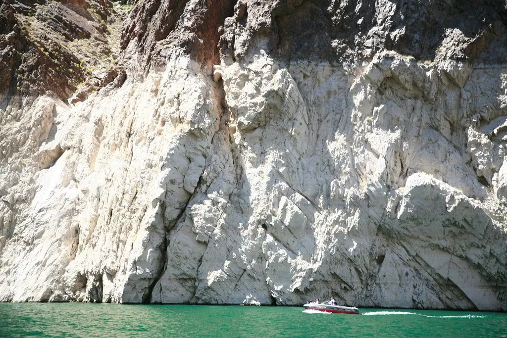
As of mid-March 2026, Lake Mead hovers at 1,064.70 feet, just 34 percent full with about 8.8 million acre-feet stored. Projections warn of dipping below 1,050 feet by summer’s end, triggering stricter shortages. That’s 164 feet shy of the 1,229-foot max, baring more shoreline than ever.[7][6]
Federal models predict further drops into 2027 unless snowpacks boom. Let’s be real, this isn’t just a lake issue; it’s a wake-up for the whole basin.
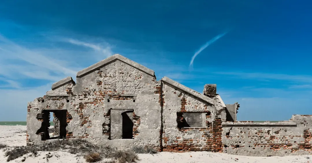
Unearthed Relics and Pioneer Tales
Exposed foundations map out the old grid, from the hotel to the schoolyard. Rusted cans, pottery shards, and even wagon parts litter the site, hinting at daily pioneer life. NPS markers explain Mormon migration and farming feats in arid soil.[1]
Families like the Perkins trace roots to those settlers, sharing stories of resilience. These “secrets” paint a vivid lost world, far richer than bones in the mud.
Stepping Into the Past Today
Access St. Thomas via a dirt road off Northshore Road in Lake Mead National Recreation Area, best in cooler months to dodge heat. Park rangers guide tours, stressing leave-no-trace amid fragile ruins. Fees apply, and flash floods pose risks, so check conditions.[3]
Walking those streets feels eerie, like time travel minus the flux capacitor. What other ghosts might surface if levels keep falling?