
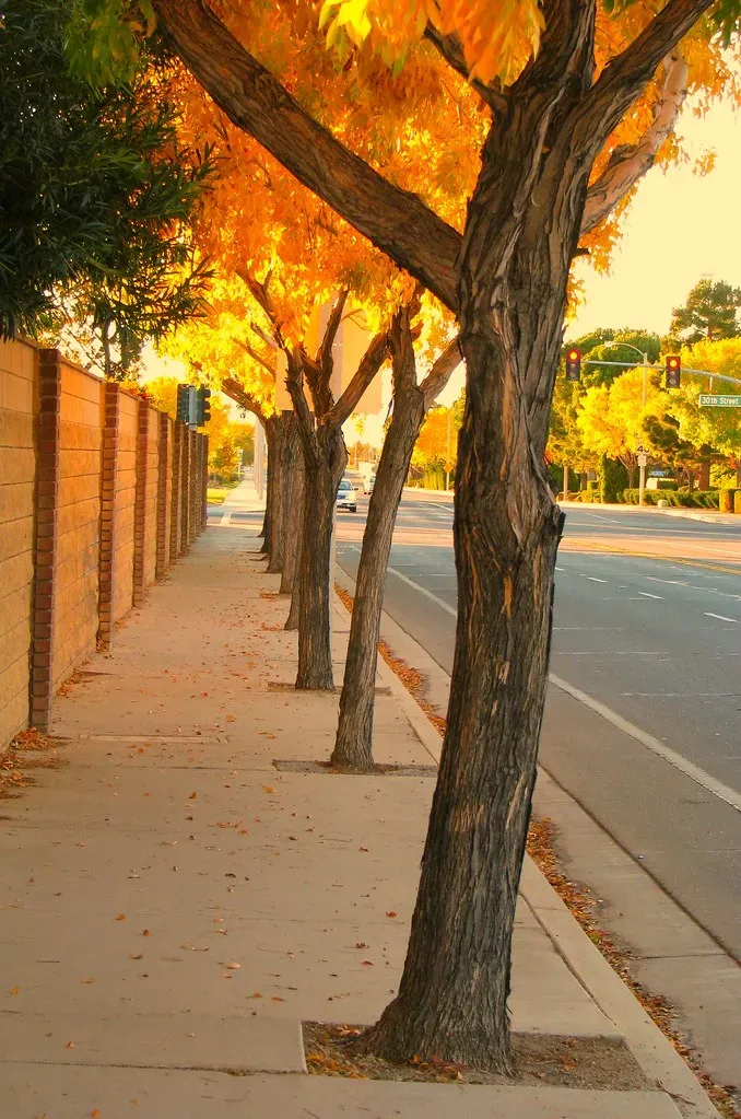
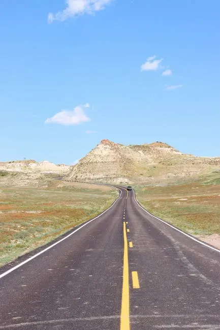
Most drivers treat the interstate like a religion. Hop on, floor it, sit in gridlock, wonder why you’re miserable. There’s a whole other America out there, though, one that flows through mountain ridges, along dramatic coastlines, and across red-rock canyons at a pace that doesn’t make you want to pull your hair out. These roads aren’t secrets, exactly, but they’re treated that way.
The idea that you have to choose between speed and beauty is, honestly, a myth worth dismantling. Depending on where you’re headed, skipping the interstate entirely can mean less time stuck behind semis and more time actually moving. So let’s dive in.
The Real Cost of Sticking to the Interstate
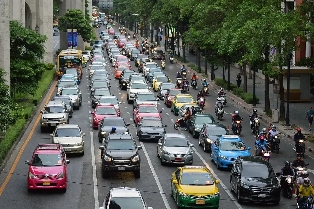
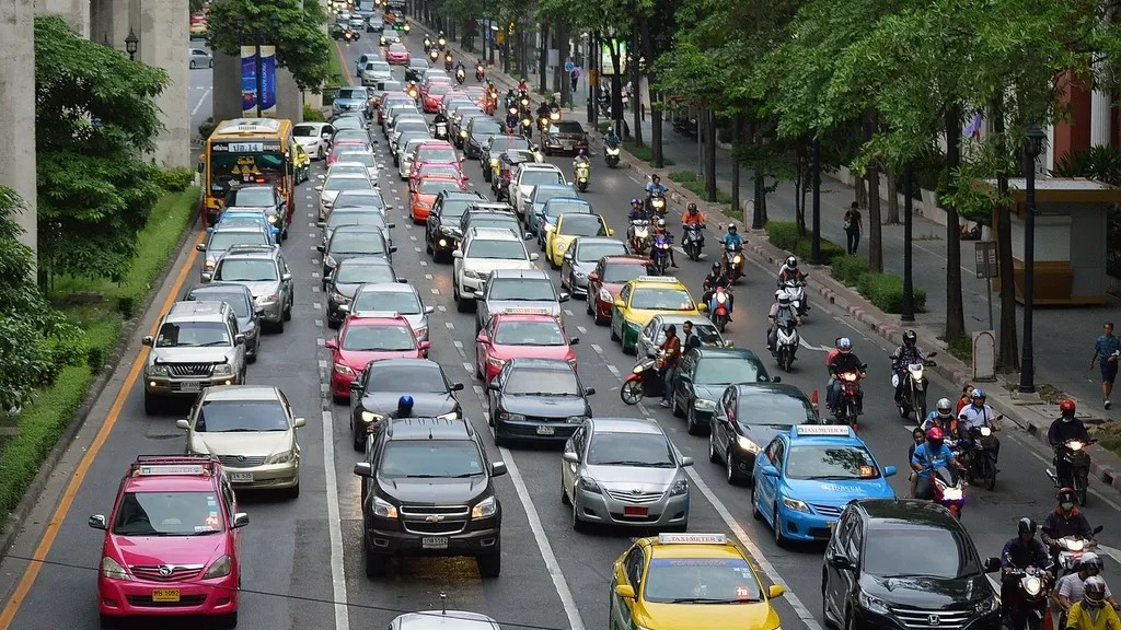
Here’s a number that should sting a little: Americans lost an average of 42 hours to congestion in 2023, up 11% from 2022, costing $733 per driver. That’s a full working week – gone, evaporated, spent watching brake lights pulse red in front of you. And things haven’t improved since then.
The latest INRIX Global Traffic Scorecard found that the typical U.S. driver lost 49 hours to traffic congestion in 2025, an 11% increase from 2024, amounting to $894 in lost time per driver. Think about that for a second. Nearly fifty hours. That’s two full road trips worth of time, wasted sitting still.
Congestion cost the U.S. more than $70.4 billion in 2023, a 15% increase from 2022. These aren’t abstract figures. This is time ripped from vacations, family visits, and cross-country adventures. The interstates, for all their engineering glory, are increasingly failing the people who use them.
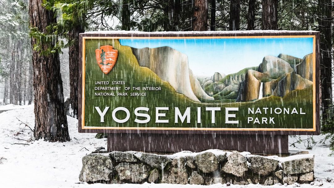
Route 1: The Blue Ridge Parkway – Appalachian Magic Without the Madness
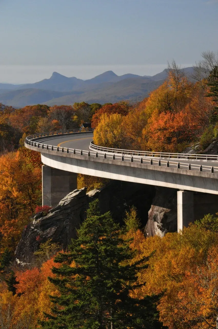
Revered as “America’s favorite drive,” the Blue Ridge Parkway is a 469-mile drive traversing the breathtaking Blue Ridge Mountains of North Carolina and Virginia. The iconic route was imagined in 1933 after President Franklin Delano Roosevelt visited Skyline Drive in Virginia, sparking the idea to extend the road further to the Great Smoky Mountains National Park. Construction began in 1935, and nearly a century later, over 15 million people per year drive the Blue Ridge Parkway.
Here’s the thing most people miss. During peak interstate congestion periods, particularly around major East Coast metro areas, the Parkway often moves steadily while I-81 and I-77 turn into parking lots. The byway routes are carefully selected by the N.C. Department of Transportation as safe and interesting alternatives to the faster pace and commercial areas found along major highways and interstates. No commercial trucks are allowed. No billboards. Just road.
The Blue Ridge Parkway, designed for relaxed travel with breathtaking overlooks and attractions, is a scenic roadway stretching 469 miles through the rolling Appalachian Mountains of Virginia and North Carolina, linking Shenandoah National Park to the Great Smoky Mountains National Park. Yes, it has a lower speed limit. But when the alternative is crawling through I-40 construction zones for three hours, the math starts to look very different.
Route 2: Scenic Byway 12, Utah – The All-American Road Through Red-Rock Country
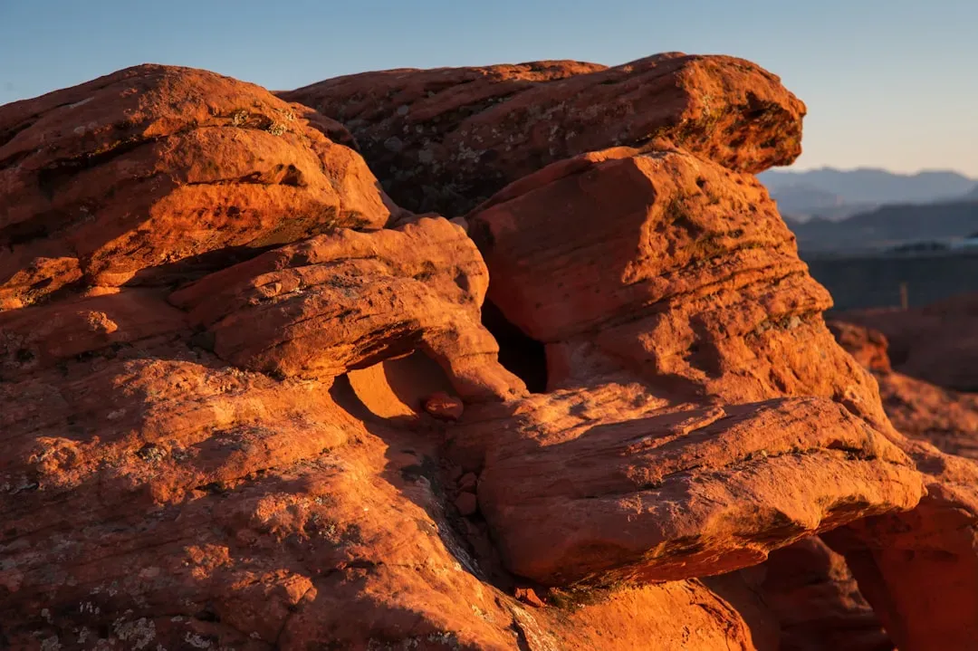
Scenic Byway 12 is a spectacular 122-mile route in Utah that winds east to west between Panguitch and Torrey through red-rock country, forests, and high plateaus. Top stops include Bryce Canyon National Park, the striking Grand Staircase-Escalante National Monument, and Escalante Petrified Forest State Park, each offering remarkable panoramas and natural features.
I think this road might be the single most underrated driving experience in the entire country. The road earned its “All-American” status thanks to its unrivaled scenic qualities, immersive travel experience, and mesmerizing roadside views that are destinations in themselves. What makes it so scenic is the dramatic mix of twisting canyons, colorful sandstone, and the feeling of journeying through time.
Compared to routing through Las Vegas on I-15 or cutting across the congested I-70 corridor, Byway 12 between major park destinations in southern Utah carries a fraction of the traffic density. To be designated as a National Scenic Byway, a byway must meet the criteria for at least one of six intrinsic qualities, including archaeological, cultural, historic, natural, recreational, and scenic. Routes like Byway 12 don’t just pass the bar – they set it.
Route 3: The Natchez Trace Parkway – The South’s Most Overlooked Highway
Most people driving through Mississippi, Alabama, and Tennessee are grinding through urban interstates when they could be rolling down one of the most historically rich corridors in North America. The Natchez Trace Parkway runs roughly 444 miles from Natchez, Mississippi, all the way to Nashville, Tennessee, following a path that Native Americans, explorers, and post-Civil War travelers used for centuries.
Like the Blue Ridge Parkway, the Trace bans commercial vehicles entirely. No 18-wheelers. No delivery trucks. Just light traffic moving through a forested corridor that genuinely feels like it exists outside of time. The National Scenic Byways Program funds roadside safety and accessibility improvements on the program’s 184 designated roads in the U.S., with eligible uses including the implementation, planning, design, and development of scenic byway projects advancing the goals of safety, equity, and accessibility. The Trace is one of the clearest examples of that investment in action.
The corridor management plan required for byway designation includes a general review of the road’s or highway’s safety and accident record to identify any correctable faults in highway design, maintenance, or operations. This means every designated byway has gone through a level of safety scrutiny that most roads never receive. That’s not a small thing.
Route 4: The Pacific Coast Highway – Slower Miles, Saner Mind
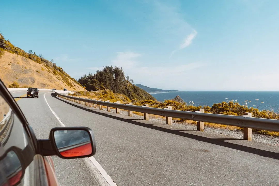
Cliffside ocean views along California’s Pacific Coast Highway make it one of the country’s iconic scenic drives. Running along California State Route 1 through Big Sur and beyond, the PCH is the kind of road people plan entire trips around. It is also, genuinely, a real-world alternative to portions of congested I-5, particularly outside peak tourist windows.
Whether it’s the coastal beauty of California’s Pacific Coast Highway, the mountain vistas of the Blue Ridge Parkway, or the desert landscapes of Arizona’s Route 66, there’s a scenic drive for every taste. The PCH is the coastal dream version of that idea – ocean on one side, dramatic cliffs on the other, and far fewer brake lights than you’d hit baking in lane four of a Southern California freeway. Timing matters, though.
Congestion on the PCH is most noticeable around popular towns and viewpoints where pullouts are limited and drivers slow to take in Big Sur-style scenery. A minor fender-bender can ripple into long, slow crawls. Expect the worst on summer weekends and holiday afternoons, especially near coastal choke points and construction zones. Leaving early and treating it as a series of short segments can keep the day from disappearing behind brake lights.
Why These Routes Are Backed by Real Infrastructure and Safety Standards
It would be easy to dismiss scenic routes as just “pretty roads” and leave it at that. The reality is more interesting. Nationwide, there are 184 national scenic byways, and nearly 1,300 state-designated scenic byways. Each of those designations carries weight – they’re not handing out badges for a nice view alone.
The 2024 National Scenic Byways Program offered up to $26.95 million in grants from the FY 2023 and FY 2024 Congressional Transportation, Housing, and Urban Development appropriations budgets, aimed at preserving and enhancing scenic roads across the country. That is serious federal money going into road quality, safety improvements, and infrastructure on these routes. It’s not just paint and signage.
Eligible uses for these funds include the implementation, planning, design, and development of eligible scenic byway projects advancing the goals of safety, equity and accessibility, economic strength, climate, and sustainability. In other words, these roads are actively managed and improved, in ways that many heavily trafficked interstates simply cannot keep up with given the volume they absorb daily.
The Stress Factor Nobody Talks About

It’s hard to say for sure exactly what heavy congestion does to a driver psychologically, but the Transportation Research Board has published research indicating that driver fatigue and stress increase significantly on congested highways, and that these factors can contribute directly to accidents. Think of it like this: driving a crowded interstate is like trying to have a conversation in a nightclub. You’re technically doing the thing, but at what cost?
The most congested road in America in 2023 was Orlando’s I-4 Westbound, followed by LA’s I-5, I-95 in Stamford, and New York’s I-278. These are exactly the corridors where scenic byway alternatives exist – and where taking them, especially outside of peak summer weekends, can shave real time off a journey while dramatically reducing stress behind the wheel.
Let’s be real: we’ve been conditioned to think interstates equal efficiency. Sometimes they do. But when a full workweek of your year is hemorrhaging into standstill traffic, maybe the “slow” road through the mountains isn’t actually slower at all. Most of America’s Byways are America’s best kept secret. That might just be the most useful piece of travel advice hiding in plain sight right now.
Next time you’re planning a road trip and your GPS defaults to the interstate, pause for a moment. Zoom out. Look for the squiggly line on the map – the one that curls through the hills and hugs the coast. What would you have guessed? That the scenic route would be faster? Sometimes, it genuinely is.