In the remote expanses of Utah’s Tooele County, a massive military installation sprawls across the desert landscape. Known informally as Area 52, Dugway Proving Ground has long fueled speculation due to its secrecy and isolation.[1][2] Publicly available satellite imagery from sources like Google Earth offers glimpses into its layout, revealing patterns that intrigue observers.
While no dramatic new secrets have surfaced in recent years, these overhead views confirm the site’s enormous scale and methodical design, tied to defense testing.[3] The imagery underscores why this place remains off-limits and enigmatic.
Uncovering the Location
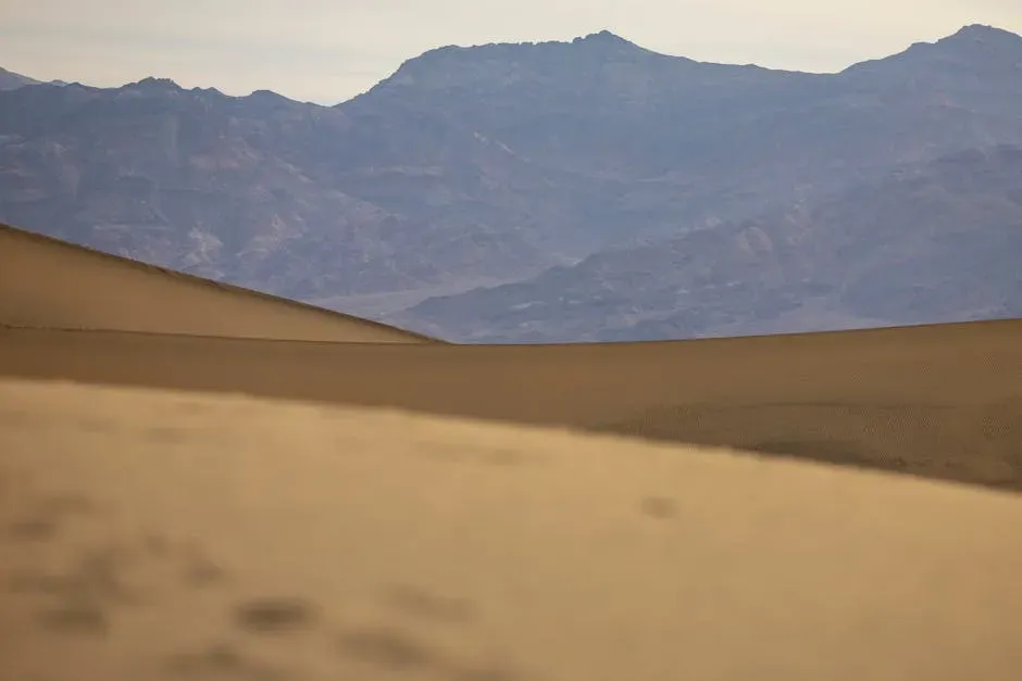
Dugway Proving Ground sits in the Great Salt Lake Desert, covering more than 800,000 acres in western Utah. Satellite images highlight its position amid vast, barren terrain, far from civilian areas. This isolation helps contain tests without public interference.[1]
Established during World War II, the base expanded over decades to support diverse military needs. Recent overhead shots show maintained roads and structures scattered across the expanse. The site’s footprint dominates the regional map, emphasizing its strategic placement.
The Immense Size Revealed
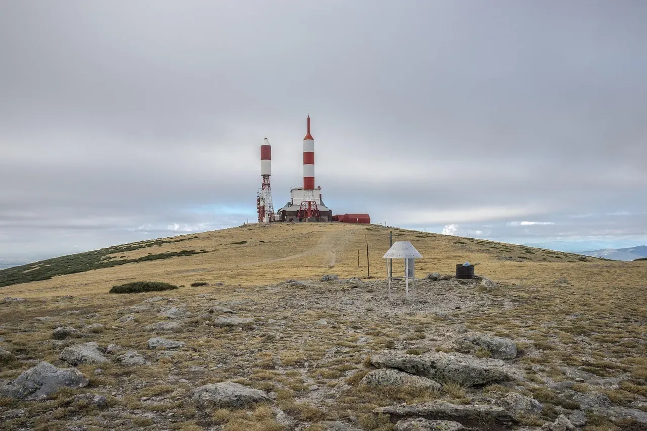
From space, Dugway appears as one of the largest military reservations in the world, roughly the size of Rhode Island. Imagery captures open test fields, runways, and storage areas stretching endlessly. This scale accommodates live-fire exercises and dispersal simulations.[4]
Google Earth updates in recent years provide clearer views of perimeter fencing and internal grids. The sheer breadth explains logistical challenges for monitoring. No major expansions show up in 2024-2026 imagery, keeping the layout stable.
Strange Patterns on Satellite Views

High-resolution satellite photos reveal grids of small roads, circular pads, and linear tracks etched into the sand. These features, visible on public platforms, stem from repeated vehicle maneuvers during trials. Observers often puzzle over their precision and repetition.[3]
Concentric rings and test pits appear in clusters, likely for agent dispersion studies. While unusual to outsiders, military experts link them to safety protocols. Recent images from 2025 confirm ongoing use without drastic changes.
Origins of the Area 52 Nickname

The moniker Area 52 emerged from comparisons to Nevada’s famous Area 51, suggesting similar secrecy. Dugway earned it through chemical and biological work, drawing conspiracy interest. Satellite glimpses reinforce the aura without proving wild claims.[2]
Popular media and online forums popularized the term around biological testing rumors. Official documents avoid it, sticking to Dugway Proving Ground. Imagery shows no extraterrestrial hints, just practical infrastructure.
Official Purpose: Defense Testing
The U.S. Army uses Dugway primarily for chemical, biological, and radiological defense validation. Satellite views depict chambers and spray fields designed for safe simulations. This role dates back to protecting troops from such threats.[5]
Open-air tests occur under strict controls, with decontamination zones visible overhead. Recent reports note continued focus on emerging hazards like novel agents. The imagery aligns with declassified overviews, demystifying much of the layout.
Historical Sheep Incident

In 1968, over 6,000 sheep died near Dugway after a nerve agent drift during testing. This event led to scrutiny and temporary halts in open-air work. Satellite archives don’t capture it but show enduring impact zones.
Reforms followed, shifting toward enclosed facilities seen in modern images. The incident lingers in public memory, amplifying secrecy perceptions. No similar issues reported since, per available records up to 2026.
Restricted Access and Security

Armed guards, sensors, and no-fly zones encircle the site, evident in satellite perimeters. Public roads skirt the edges, but interiors blur in some views due to policies. This setup prevents unauthorized entry effectively.
Prohibited airspace extends high above, limiting even aerial photography. Recent drone incursions elsewhere highlight such vulnerabilities, though Dugway reports none publicly. Imagery respects these boundaries, showing only approved details.[6]
Modern Operations and Updates
Today, Dugway tests protective gear and detection tech against simulated attacks. 2023 insider photos revealed living quarters and labs, complementing satellite exteriors.[4] No 2024-2026 news indicates major shifts.
Satellite refreshes around 2025 show routine activity, like vehicle tracks refreshing. The base supports broader Army readiness without fanfare. Evidence points to steady, unglamorous work.
Conspiracy Theories vs. Reality
Theories claim alien tech or underground labs, inspired by Area 51 lore. Yet satellite data reveals mundane military patterns, not saucers or portals. Speculation thrives online despite facts.[1]
Blurred spots on older Google Maps fueled myths, now mostly resolved. Dugway’s real focus – defense innovation – outshines fiction. Public imagery keeps grounding the narrative.
What Satellite Imagery Truly Shows

Recent public satellites confirm Dugway as a functional test hub, with grids for precision trials. No hidden bases or anomalies emerge in 2024-2026 views. The “reveal” lies in transparency of routine operations.[3]
Patterns match known protocols, easing some mysteries. Still, restricted zones preserve operational security. Overhead perspectives humanize the site’s purpose.
Conclusion
Dugway Proving Ground, or Area 52, endures as a cornerstone of U.S. defense through its desert seclusion. Satellite imagery peels back layers of myth, exposing a site dedicated to safeguarding against invisible threats.
While intrigue persists, the views from above remind us that real secrets often serve practical ends. The Utah desert holds its quiet vigil, much as it has for decades.