
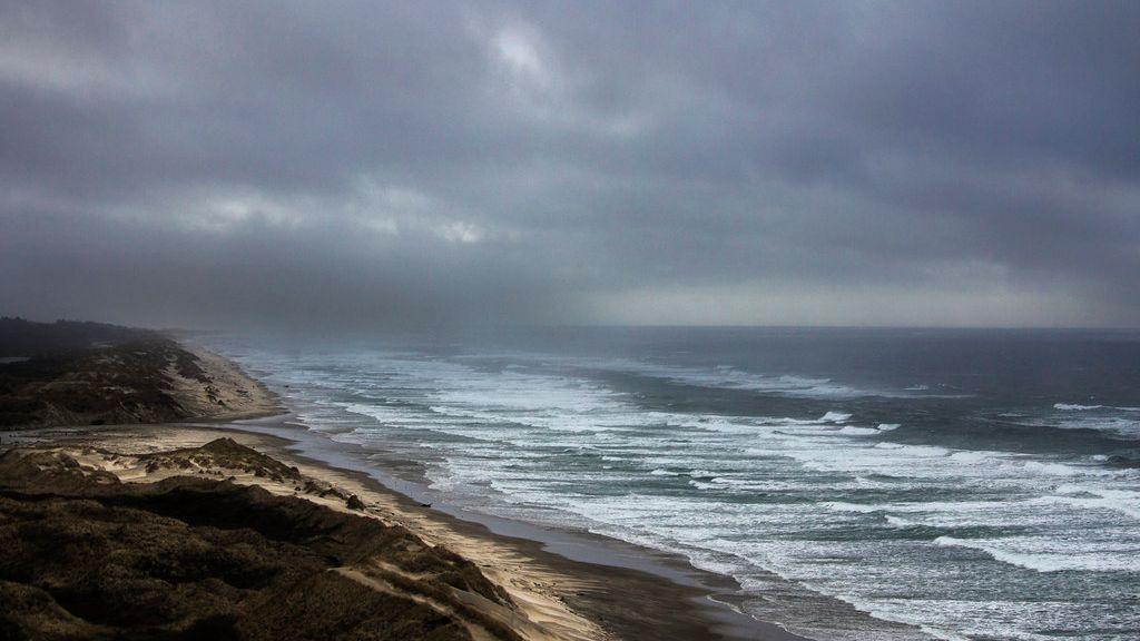
AccuWeather Forecast: Level 1 storm to bring showers to parts of Bay Area during evening commute – Image for illustrative purposes only (Image credits: Flickr)
Bay Area – Commuters navigating highways and bridges this evening face the prospect of slick roads and reduced visibility from incoming showers. A Level 1 storm on the ABC7 Storm Impact Scale targets the region, with the heaviest rain expected in the North Bay and East Bay.[1][2] The system arrived after a day of persistent cloudiness, setting the stage for wet conditions during peak traffic hours. Lighter precipitation could still develop across other parts of the area, complicating drives home for thousands.
Showers Strike Amid Rush Hour Traffic
The storm began influencing the Bay Area with increasing chances of rain through the afternoon. Forecasters noted widespread cloud cover early in the day, transitioning to showers by evening.[2] This timing aligns directly with the evening commute, when major routes like Interstate 80, U.S. 101, and the Bay Bridge see heavy volumes.
Wet roadways represent the primary concern. The precipitation promises to create slick surfaces, potentially slowing travel and raising the risk of minor accidents. Overnight, showers may shift south of the Golden Gate Bridge, lingering along coastal areas and bay shorelines.[2] Authorities have not issued warnings beyond routine cautions, reflecting the storm’s modest intensity.
North Bay and East Bay Hit Hardest
The North Bay stands out as one of the wettest zones, where showers could deliver the most persistent downpours. Areas from Marin County northward into Sonoma may see steady rain accumulation, soaking local roads and neighborhoods.[1] Residents and commuters there should anticipate puddles and hydroplaning risks on routes like Highway 101.
Similarly, the East Bay valleys and hills face elevated rainfall. Precipitation here matches the North Bay’s intensity, affecting drives through Oakland, Berkeley, and beyond. Lighter showers remain possible in the South Bay, Peninsula, and San Francisco proper, though impacts will prove less severe.[2]
- North Bay: Heaviest showers, slick roads likely.
- East Bay: Comparable wetness, commute delays possible.
- Other regions: Isolated lighter rain or drizzle.
Outlook Shifts to Clearer Skies
Wednesday brings a reprieve, with early morning drizzle or light rain giving way to partial clearing by midday. Conditions improve further through the end of the week, offering drier and milder weather overall.[2] This brief storm serves as a reminder of the region’s variable spring patterns.
By the weekend, temperatures climb significantly inland, reaching the upper 80s to mid-90s under summerlike heat. Coastal areas will moderate the warmth, but the shift promises relief from recent cool, damp spells. Forecasters from ABC7 and AccuWeather emphasize monitoring updates as the system evolves.
Travelers tonight would be wise to allow extra time, check wipers and tires, and heed slowdowns. While the Level 1 designation signals limited disruption, the human cost of a single slick-road incident underscores the need for vigilance. As the Bay Area shakes off these showers, daily routines resume under brighter prospects.