
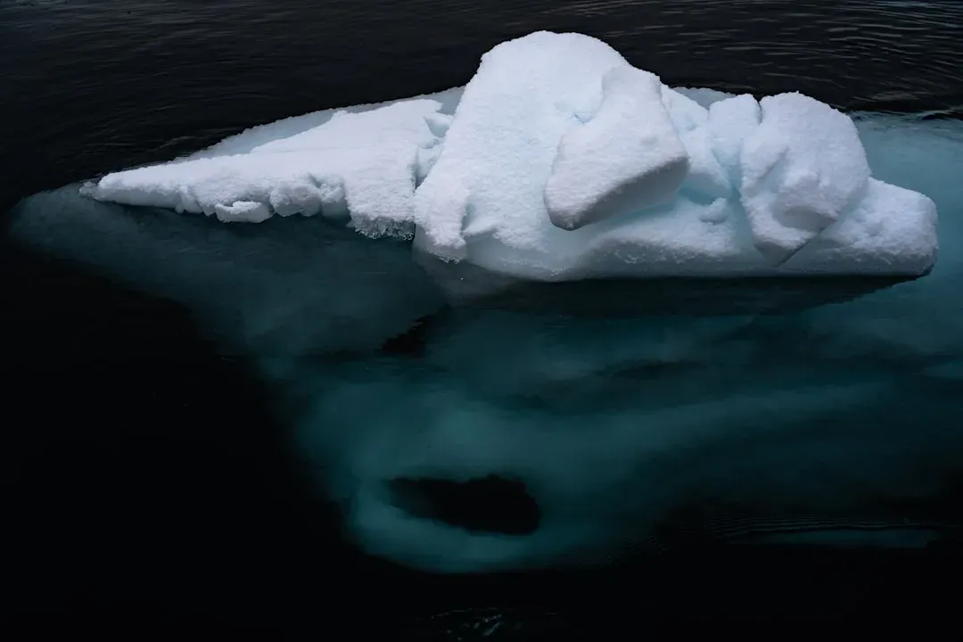
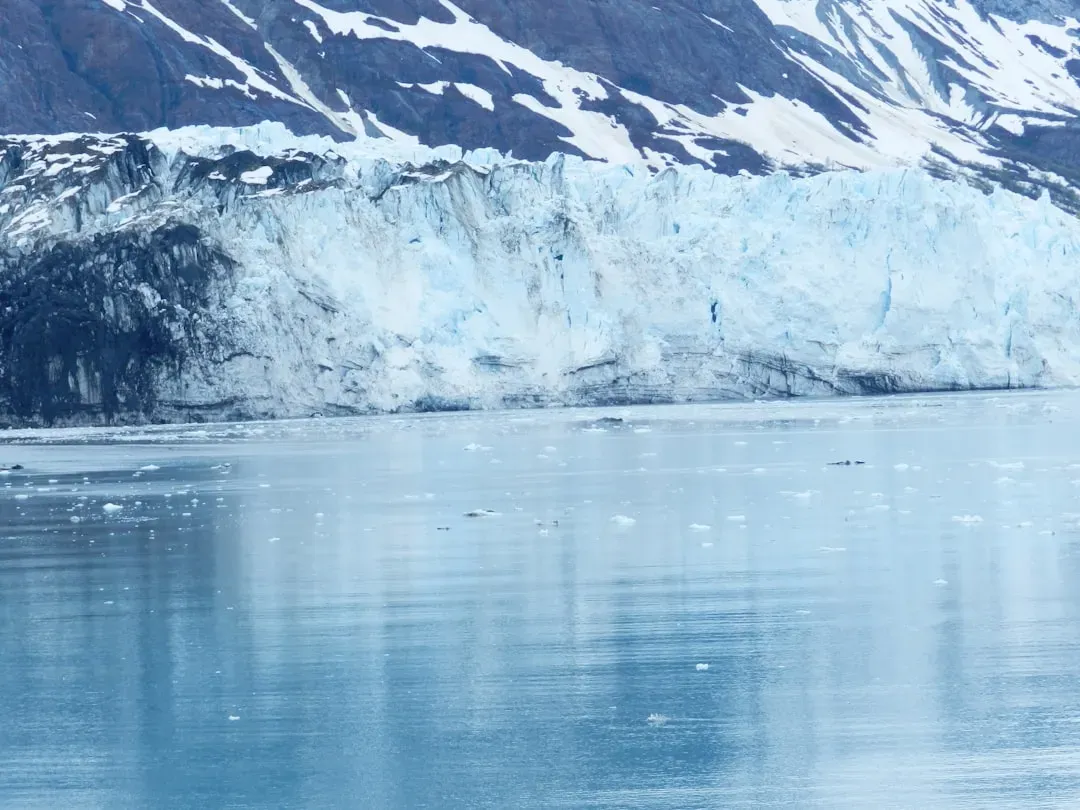
Reports of hidden worlds under polar ice have captured attention lately. Scientists using advanced radar have mapped vast landscapes buried deep beneath thick ice sheets. These findings reveal echoes of warmer times long ago.
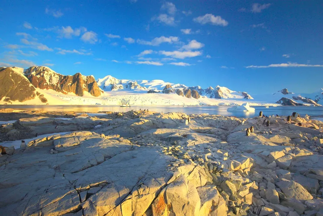
Though often linked to the Arctic in popular stories, the most striking recent evidence comes from Antarctica. There, researchers uncovered an ancient terrain untouched for millions of years. This challenges ideas about how ice has shaped the poles.
The Radar Breakthrough
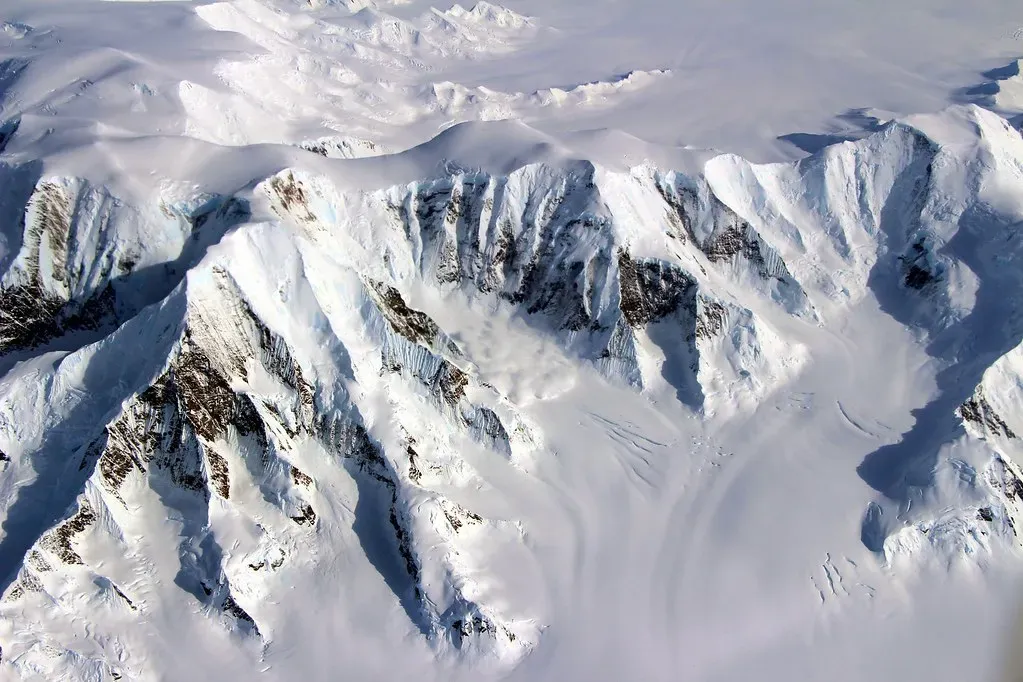
Teams employed radio-echo sounding from airborne surveys between 2008 and 2011. This technology pierced over a mile of ice to image the bedrock below.[1][2] Satellite data and elevation models helped refine the pictures.
The method revealed three large elevated blocks separated by deep troughs. Each block spans thousands of square kilometers with intricate ridge and valley networks. Preservation like this points to stable cold conditions over eons.
Location Under the Ice
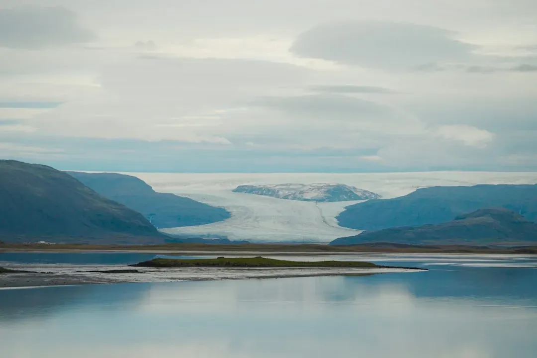
The landscape sits in central East Antarctica, near the Aurora and Schmidt Subglacial Basins. It’s inland from major glaciers like Denman and Totten. This remote spot lies hundreds of kilometers from the ice edge.[1]
Covered by up to two kilometers of ice, the area covers more than 32,000 square kilometers originally. Media likened its scale to the size of Belgium or Maryland. Such vastness underscores the continent’s hidden complexity.
Age of the Buried World
Experts date the terrain to at least 14 million years old, possibly back to 34 million years during the Eocene-Oligocene shift. That’s when Antarctica began major glaciation. The surface froze in time soon after formation.[1][2]
No major erosion or reshaping occurred since, thanks to cold-based ice flow. This stability preserved fluvial features from pre-ice ages. It offers a snapshot of a pre-frozen continent.
Features of the Terrain
Ridges and valleys form a dendritic pattern typical of river systems. Valleys show U-shaped profiles from later glacial tweaking. Relief reaches about 800 meters, with peaks uniformly elevated.[1]
Drainage density mirrors ancient river networks, oriented east-west and north-south. Troughs between blocks plunge nearly 1,500 meters below sea level. These details paint a picture of dynamic water flow long ago.
Signs of Ancient Life
While direct fossils aren’t from this exact site, nearby sediments hold pollen from palms and other plants. This suggests dense forests thrived before the ice advanced. Microorganisms in cores hint at a biodiverse past.[3]
The landscape’s river valleys likely supported vegetation and rivers. In warmer Eocene times, Antarctica hosted temperate rainforests. Such evidence ties this find to broader polar history.
Climate Clues from the Past
The preservation demands quick shifts from warm to cold ice regimes. No deep inland retreat happened even in past warm spells like the Pliocene. This implies the ice sheet’s resilience under moderate warming.[1]
Today, it raises questions about future melt patterns. Similar relics may dot the ice sheet, awaiting mapping. Understanding them could refine sea-level predictions.
Arctic Parallels
In Greenland, cores reveal plant remains under a mile of ice, signaling past full melts. Boreal forests may have covered areas now iced over. These sites show Arctic ice also vanished in milder climates.[4]
No current massive forests lurk under Arctic ice, unlike sensational claims. Instead, subglacial lakes and microbes thrive in darkness. Discoveries there focus more on recent ecosystems than ancient forests.
The Science Team

Lead researchers from Durham University, including Stewart Jamieson, analyzed the data. International collaboration pooled airborne surveys and models. Their work appeared in Nature Communications in 2023.[1][3]
Flexural modeling estimated pre-glacial elevations. This multidisciplinary effort turned raw data into a vivid map. Their caution avoids overclaiming direct forest evidence.
Implications for Today
These hidden realms show ice sheets lock away history. Warming could expose more, altering flow dynamics. Groundwater or sediments below might influence stability too.[5]
Models must now factor in such relics. They highlight polar sensitivity without panic. Steady mapping will clarify risks ahead.
What’s Next in Exploration
More radar flights target other basins for similar finds. Drilling could sample bedrock directly. Drones and satellites enhance resolution.[2]
Linking these to fossils elsewhere builds a fuller timeline. Such efforts demystify the poles. They remind us Earth’s deep past informs its future.
Peering under ice unveils not just rocks, but chapters of planetary change. These glimpses urge careful stewardship of fragile frontiers. The ground beneath holds lessons still unfolding.